The eastern mountains! We had already gone on seven hikes of varying lengths (and lots of walks) on our Sardinia trip, but had always looked to the east as “the hiking area”. This is where all of the island’s biggest mountains are, and a colder climate to go with them.
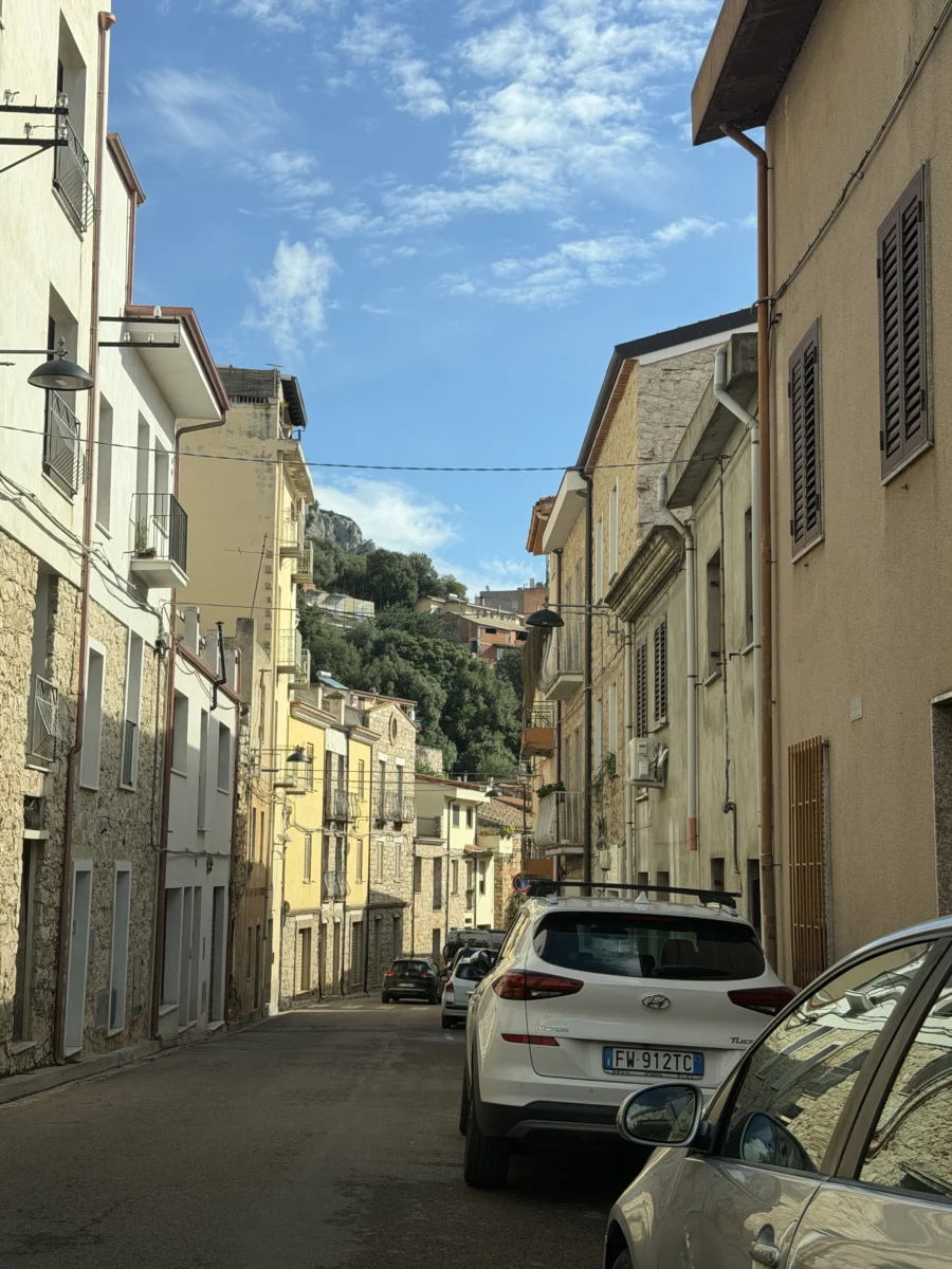
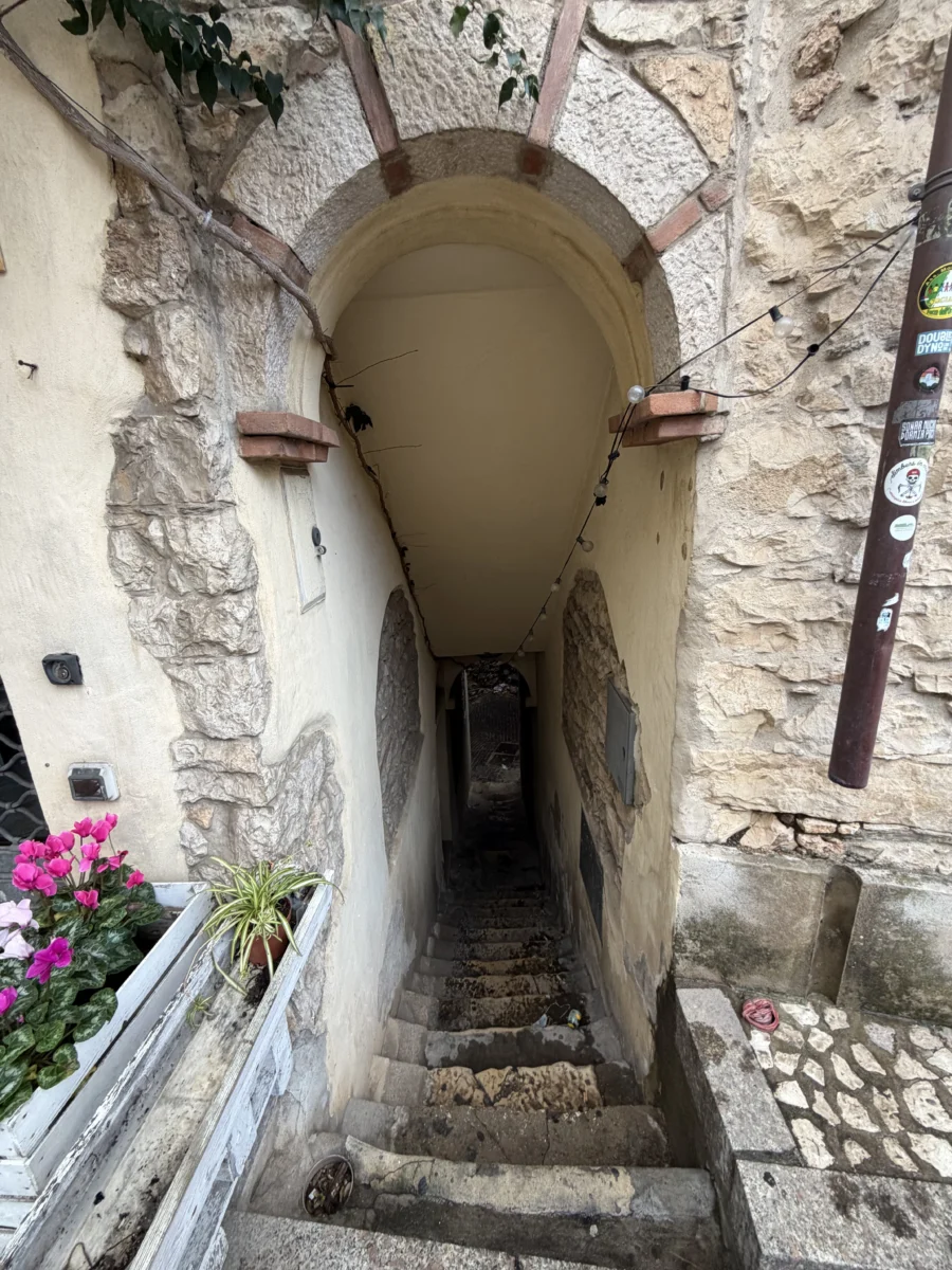
The town of Dorgali serves as the focal point of the mountains and was our primary base for exploring this region. Dorgali proper only has ~6,600 people but has a European mountain city vibe. It is an old town with complex maze of narrow streets, splashed on a hillside. There are bigger, more modern roads along its top and bottom edges for thru-routes. The business scene changes substantially between seasons due to tourists, but real people live and work there year-round.
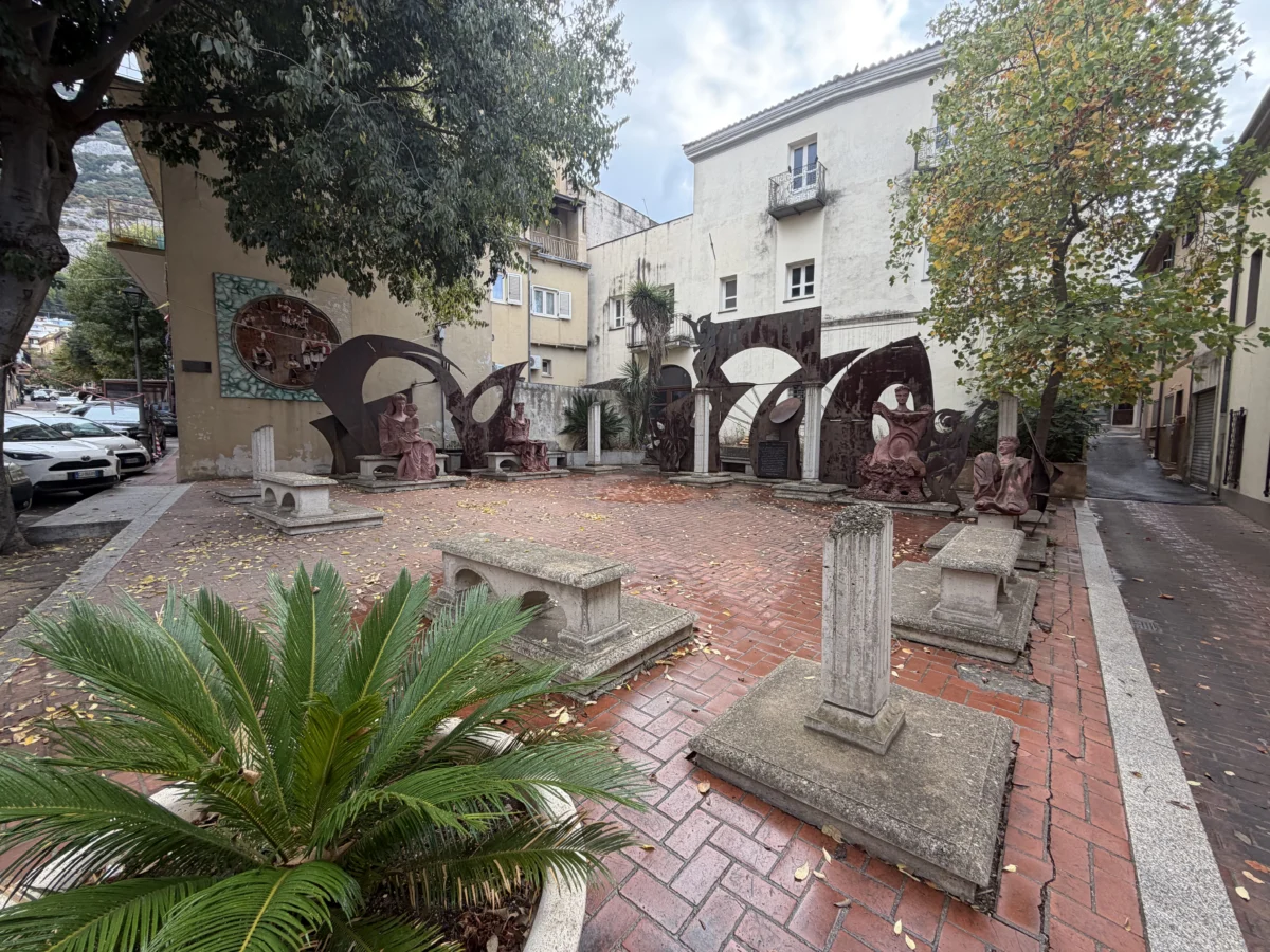
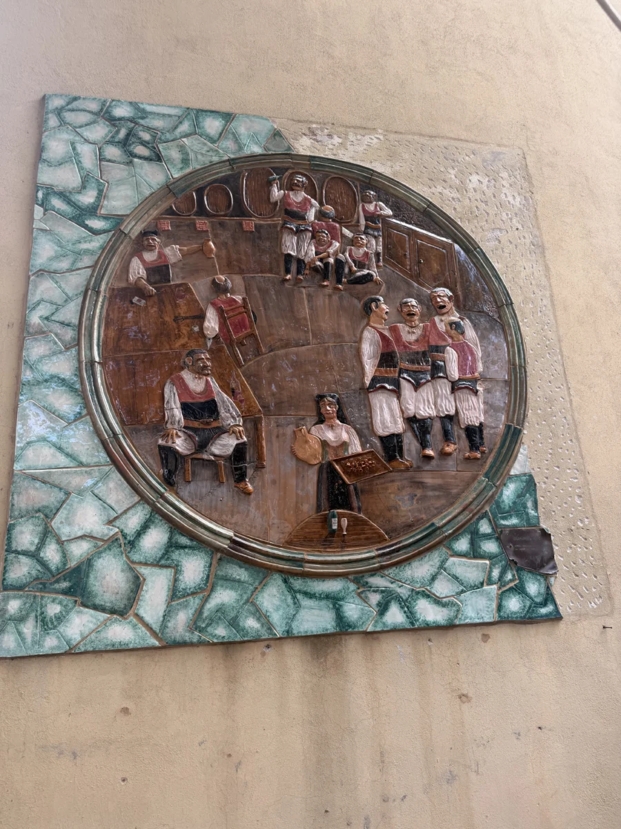
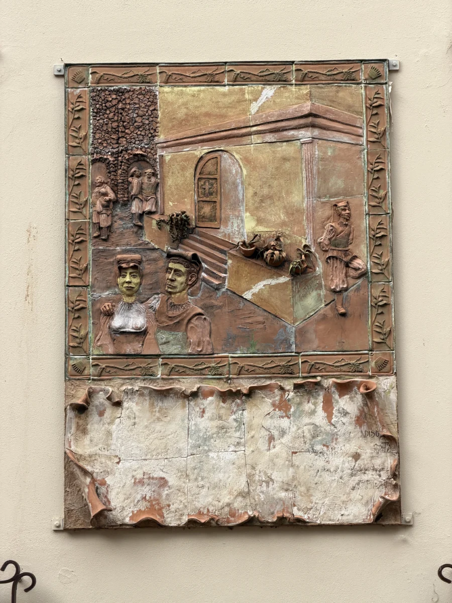
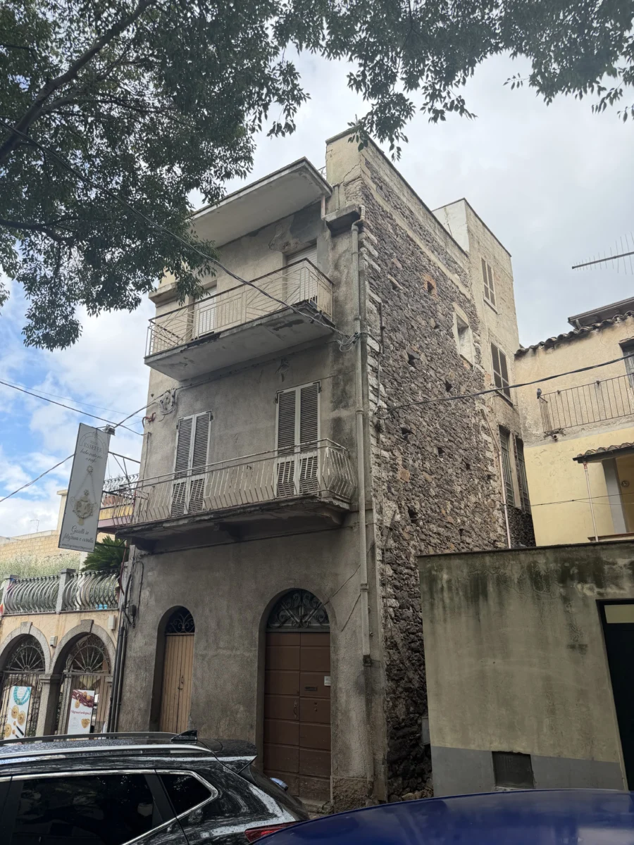
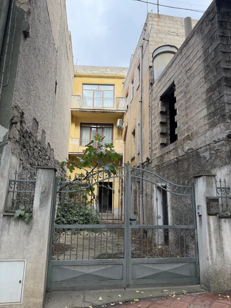
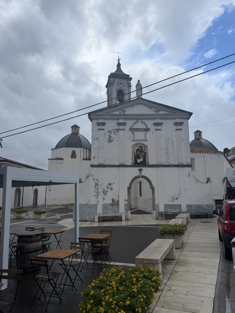
Like so many European communities, Dorgali grew organically over thousands of years so you see mixtures of old and new architecture all over.
We went to two highly rated restaurants in Dorgali, Litu and Temari. Both were excellent in very different ways.
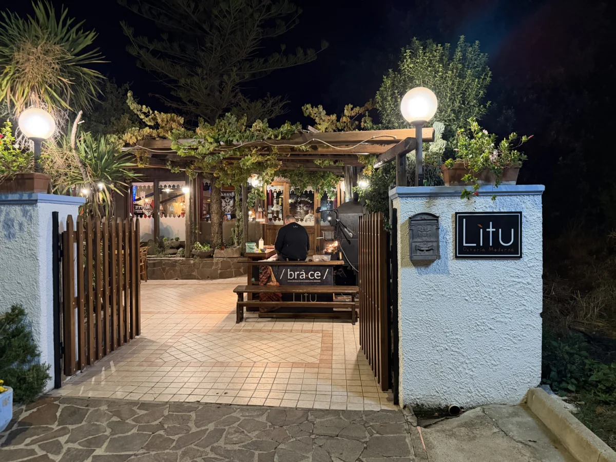
Lìtu Osteria Moderna has a warm pub vibe, with a big BBQ fire and grill cook at the entrance. His greeting and the familiar smoky aromas welcomed us at the same time. We sat in the middle of things and people-watched while we food-ate (right?).
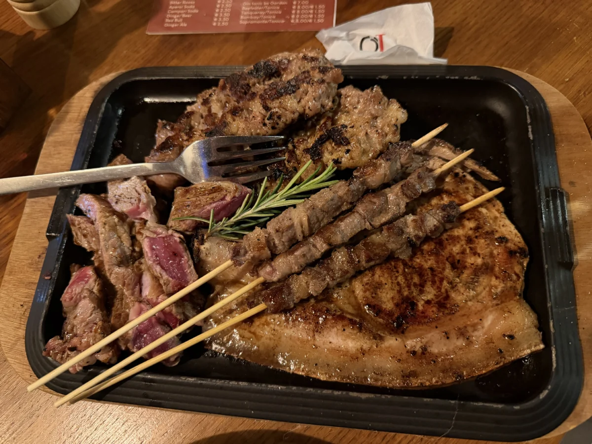
The menu and the dishes we had were warm and familiar, great for sharing. We were up in the mountains so they specialize in meats over seafood (although both are almost always available across Sardinia). We got the mixed grill to try a little of a lot of things and especially liked the lamb and pork. Neither of us love working our way through fats & bone with a knife but it was rewarding. The pappardelle was fresh and wide, and while the sauce was basic the crispy ham was almost unbelievably just that- paper thin crispy pieces of porchetta or something. You can see in the picture they look almost like sun-dried tomatoes. Our only complaint is that we wanted more of that ham!

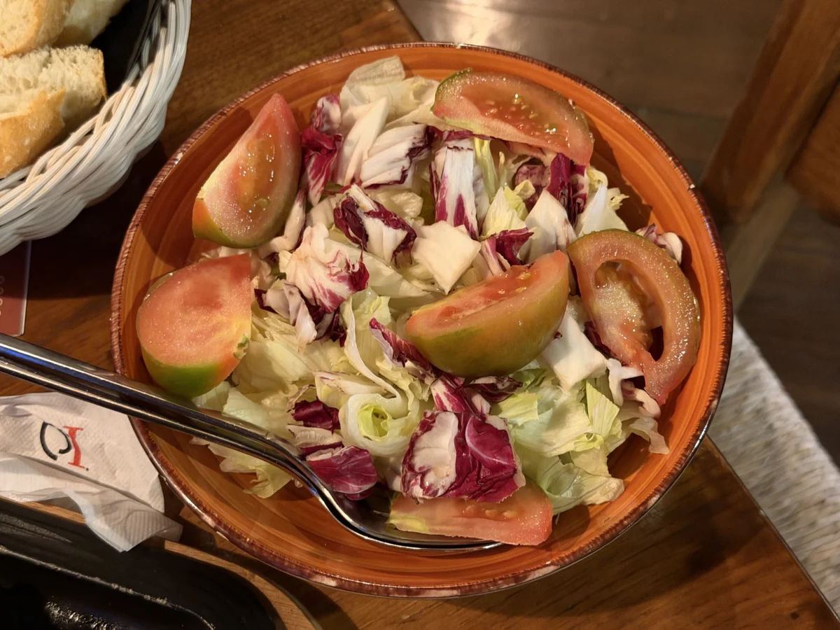
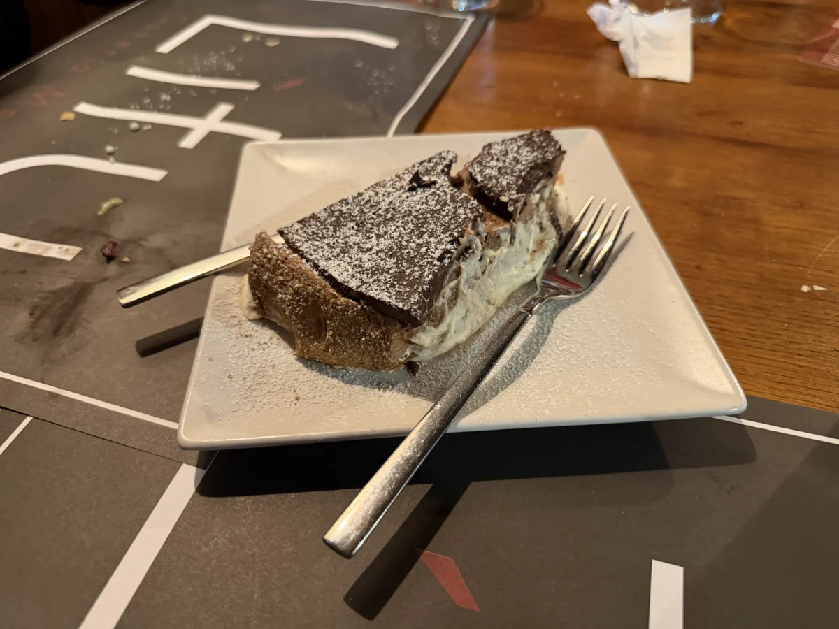
The salad was standard, although we appreciated the heirloom tomatoes. The nutella cheesecake for dessert was excellent. Not what we’re used to calling a cheesecake (dish definition is a recurring theme across the island), but meets the basic requirements and the block of nutella on top was excellent.
This is a place where you might go once a week to hang out with friends, have a drink, and be silly.
Temari Bistro is much more of a refined dining vibe, without being snooty! The space is large, bright, and airy. It’s popular but even full doesn’t feel like a community party.
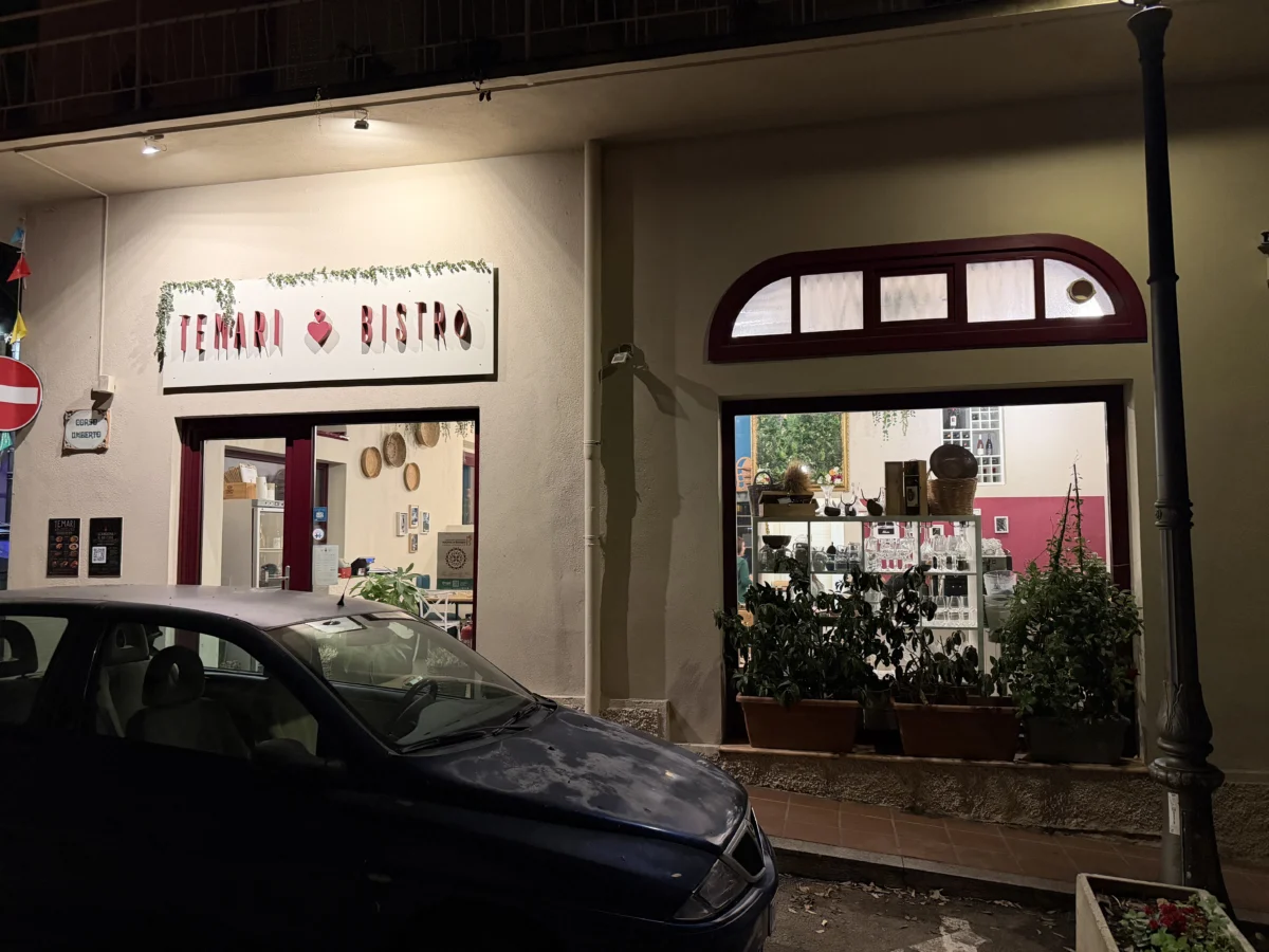
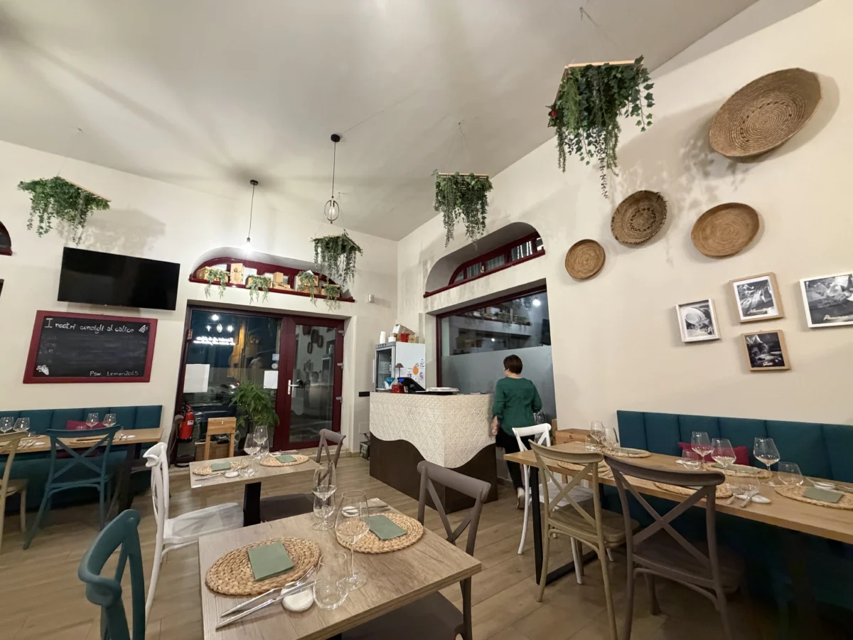
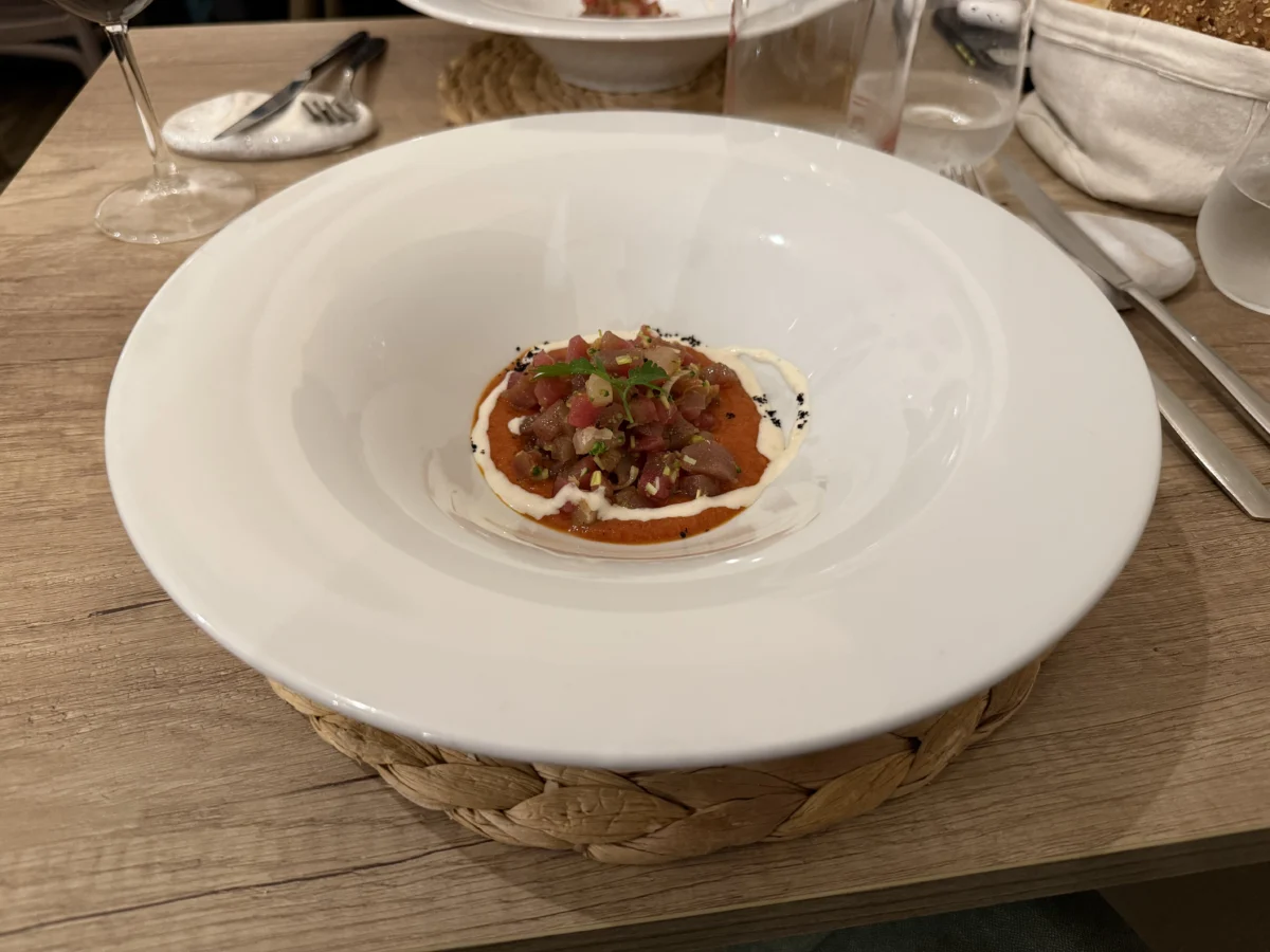
Ceviche (fish “cooked” by soaking in citric acid from fruits) is one of our favorite dishes, and an especially good starter. The quality of all of the seafood we encountered in Sardinia, whether inland or coastal, was exceedingly high. As a result we felt just as much at-ease eating it raw in sushi dishes and ceviche. Ceviche is one of the best dishes to highlight a restaurant’s sauces since seafood typically has such subtle flavors (NOT looking at you mackerel!). Temari’s ceviche is locally caught ombrina mixed with tuna, then marinated in lime fresh chili and onion. It’s uniquely spicy and paired well with our pasta dishes. It also scooped well with the crisp, paper-thin pane carasau bread that is provided at the beginning of almost all Sardinian meals.
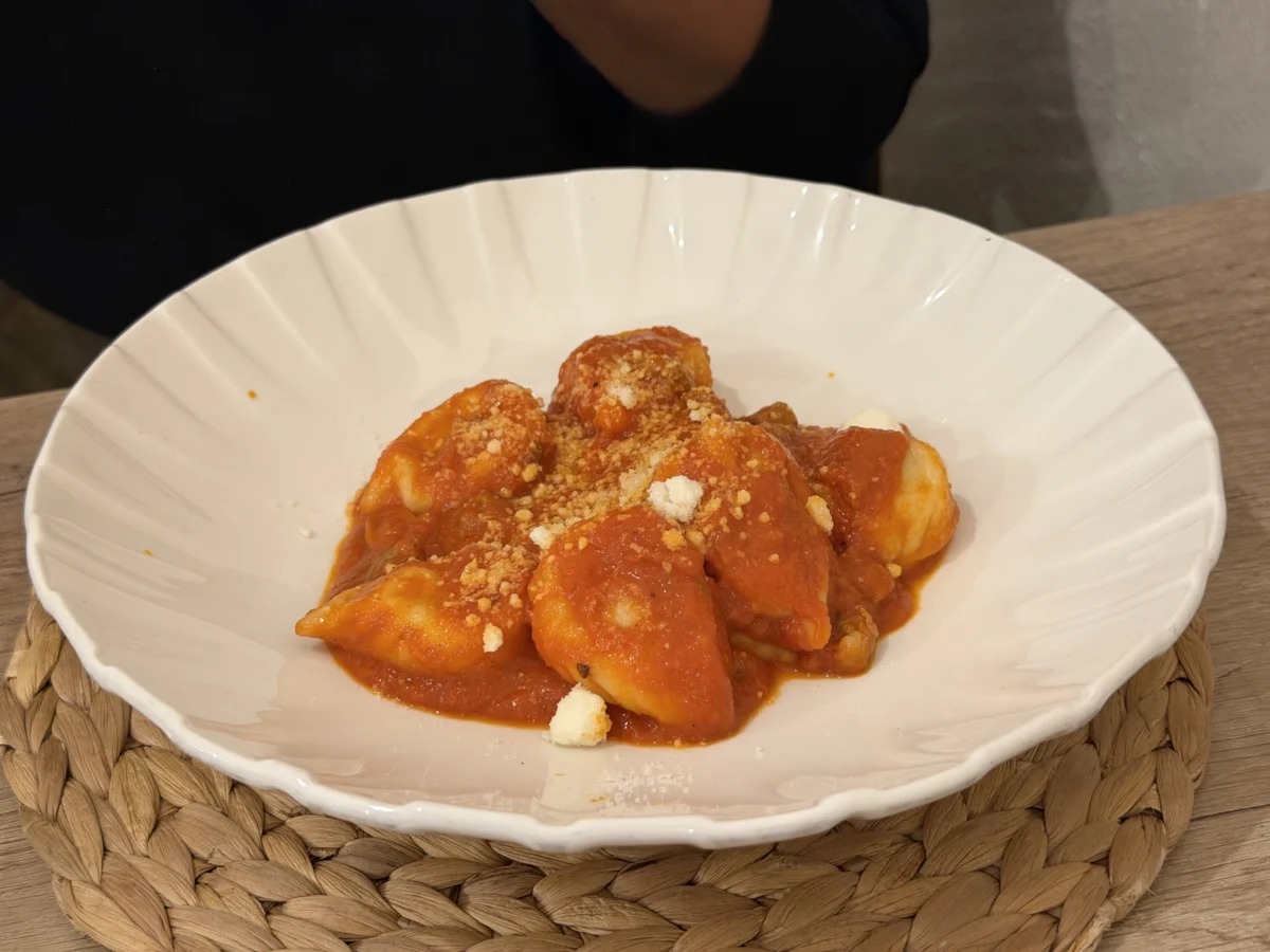
Culurgiones are one of our great culinary discoveries of this trip. They are basically a pasta-dumpling hybrid that is filled like ravioli. Temari’s culurgiones are “Culurgiones Ogliastrini (typical fresh pasta filled with potatoes, cheese and mint) with grandmother’s typical Dorgalese ragù.”
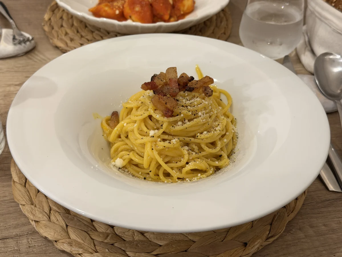
Carbonara is an Italian staple of course, but like the other dishes Temari makes it their own. They use a classic carbonara recipe with local ingredients: Dorgali pecorino cheese and Oliena guanciale (Oliena guanciale is a traditional salt and spice cured pork cheek produced in the nearby town of Oliena. It was tasty and deceptively large due to the well-shaped bottom of the big plate/bowls.
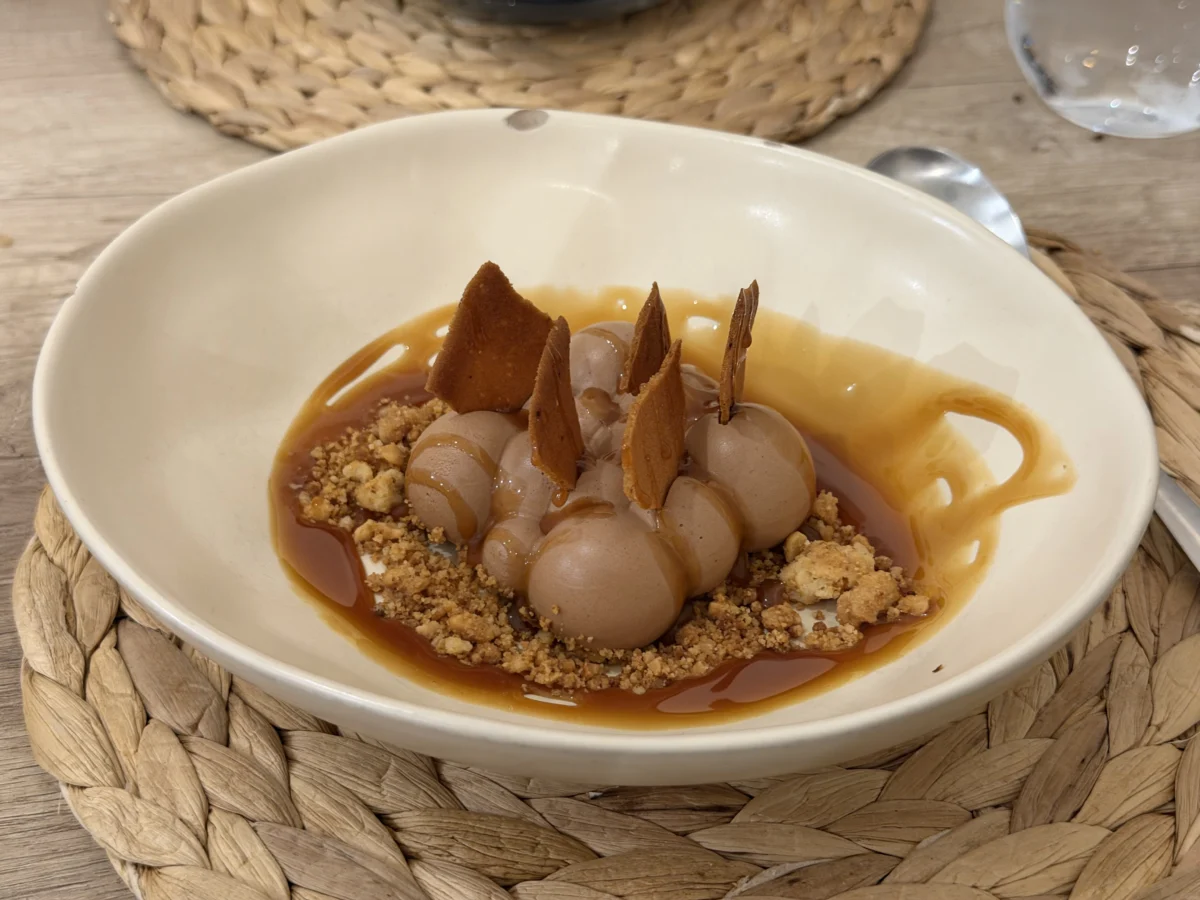
The desserts were very good but not quite as striking as the dinner plates. Bavarese caffe is coffee-based Bavarian cream with salted caramel and almond & peanut crumble. All of the flavors and textures were yummy and complementary. It didn’t really have a strong central theme but we scraped the plate.
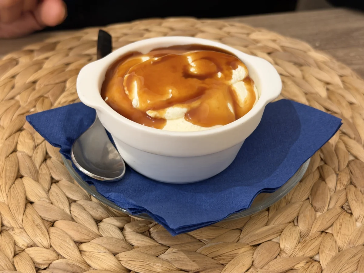
The cheesecake was a type we found most often on the island, light and creamy, made from fresh sheep’s milk ricotta. It had the same dark salted caramel and lightly salted almond crumble as the Bavarese caffe, and we applaud that! We’re used to a much more dense cheesecake, which might be why we wanted more of the caramel and crumble to give more body and flavor. Purely personal preference though, as this fulfilled a lighter niche very well.
Weird/gross side story now to bring us back from delicious food land.. We were running late when we arrived at Temari and had to park. I found a spot just over a block away and parked and we walked quickly to the restaurant. However I noticed that there was a ton of noise coming from above as we walked and a ton of droppings on the ground. Since it was dark out, I figured that they were bats. When we sat at Temari I told them about it and asked if I should move my car and they immediately said yes! I ran back to the car and it was already.. painted. Probably 50 direct hits in less than 10 minutes. I moved the car down ~6 spots out from under the trees and returned to the restaurant. Long-story-medium.. and after some research.. those trees are home to thousands of starlings (so birds about to sleep, not bats getting going!), and the next day we got a car wash to prevent permanent damage to the paint. Lesson learned and experience filed under “gross but educational” with no real harm done..
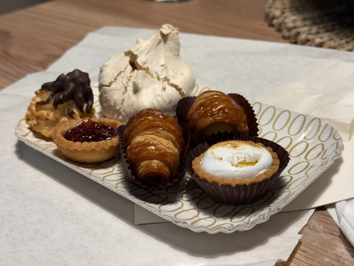
We also found a delightful little pastry shop on the lower side of Dorgali, Esca Dolciara. This was important, because it was the only area we stayed in and did NOT find any gelato (of course we found some elsewhere in the mountains, but not in Dorgali 😉, read on for that)! Plus, Esca is really good. It’s tiny and popular but they clearly put a lot of effort into making high-quality, creative pastries that people love. New England pastry shops need to up their game!! The meringues alone would draw me in, but add in the dark chocolate-dipped macaroons and fresh local fruit tarts.. take my money!

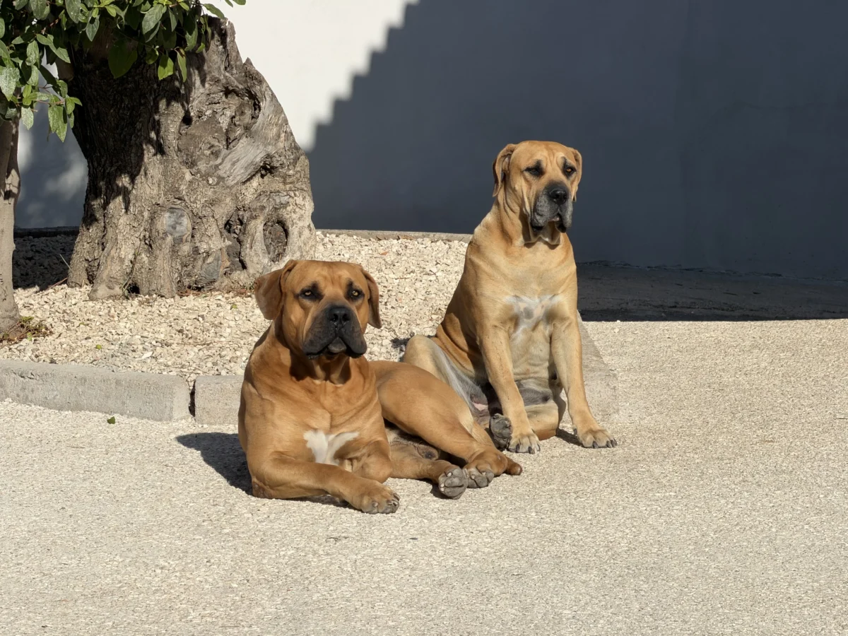
While in the Dorgali area we rented an apartment at Made Green (warning: the web site is visually modern but functionally useless). It is a new, German restaurant and apartment complex right under a rocky cliff north of town. We were greeted by these two giant South African Mastiffs, who had a menacing appearance but quickly resorted to a sweet, quiet, stoic demeanor. They were either shyly hiding or asking to be petted throughout our stay.
Made Green was in an ideal location for hiking. It is 8 minutes outside of Dorgali for our restaurant, grocery shopping (try CRAI!), and petrol (currently 2.20€/liter in Dorgali, ~0.21€/liter more expensive than pretty much anywhere else in Sardinia!) needs. While the location made for an excellent hiking base, we have some significant reservations about them based on our stay. The grounds and rooms aren’t fully finished (e.g. odd holes in the ceiling, strong ~rubber smell, missing railing) and some of the staff wants to charge for silly things. The foundation is there though so perhaps in the future.
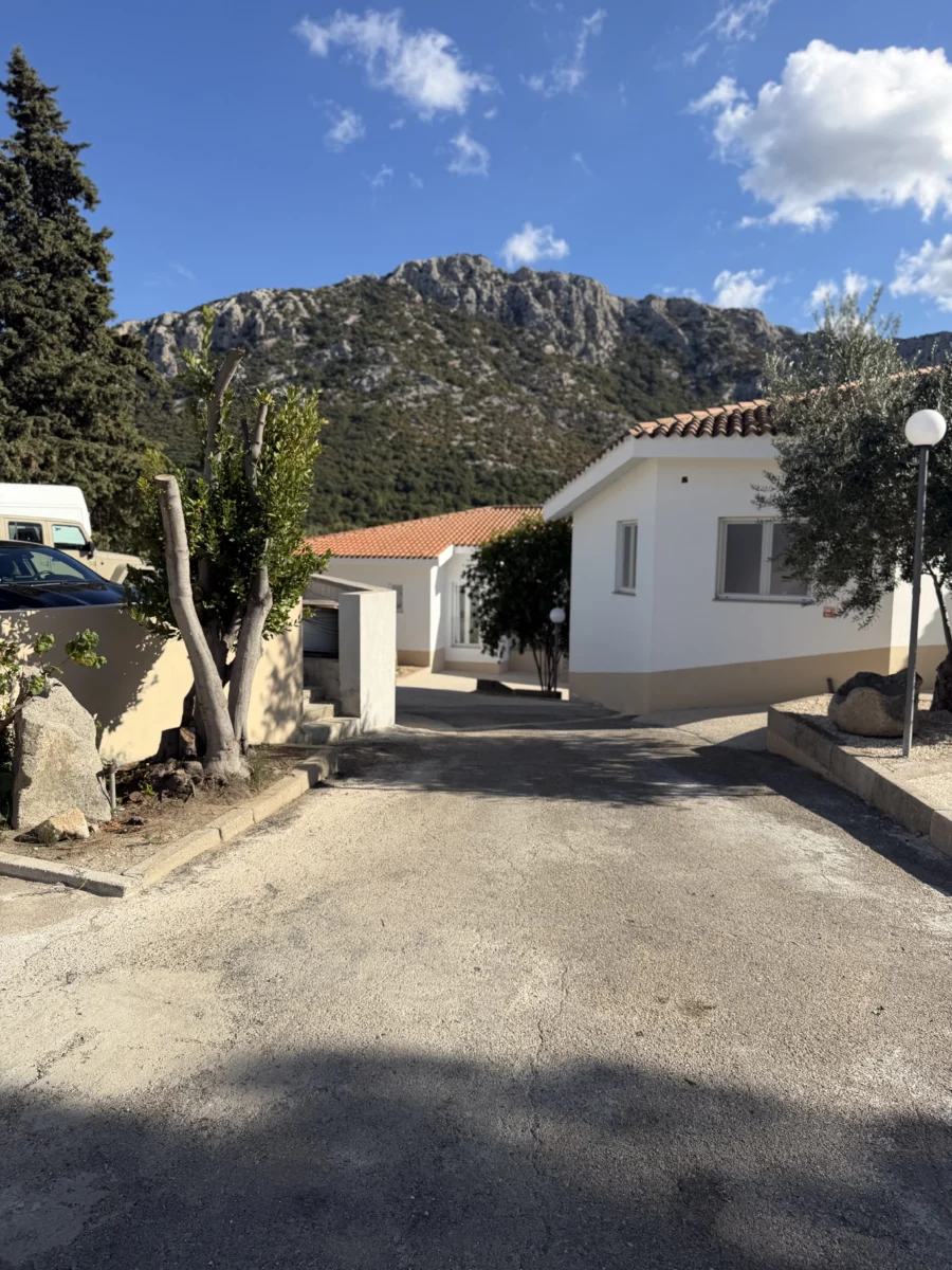
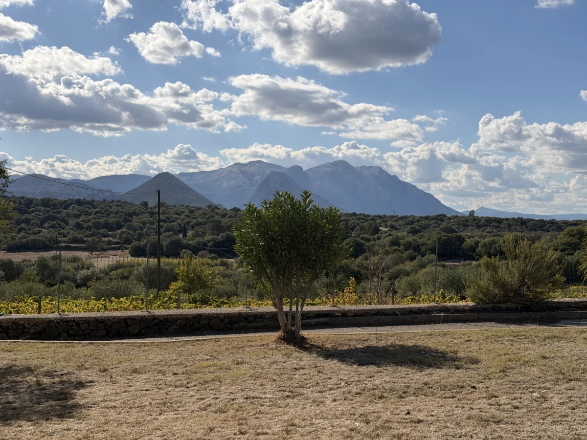
It is likely impossible to find a location within an hour of Dorgali that doesn’t have a stunning view of at least one jagged mountain. The lofty rocky ridge looming above Made Green is impressive in-person, and it is definitely not the biggest thing in sight.
Administratively Dorgali also includes the neighboring village of Cala Gonone. In most places Dorgali’s population is listed as ~8,200, but of those 6,600 are in town and 1,600 are in Cala Gonone. “Neighboring” is also highly subjective though since they are separated by a large ridge and 400m (1,300ft) of elevation. Furthermore, the road connecting them is 7km (4.2mi) long rife with tight switchbacks and one narrow 115m long tunnel bored through the mountain.
Made Green is actually on the other side of Dorgali from the tunnel so I found the only other connecting road to Cala Gonone. It is to the north and winds up and over a different part of the ridge. I had to try it of course and confirmed that while it is shorter.. it is far narrower, steeper, and doesn’t always have guardrails. It does have great views too though! Just not for timid drivers or passengers, nor excessively large or underpowered cars.
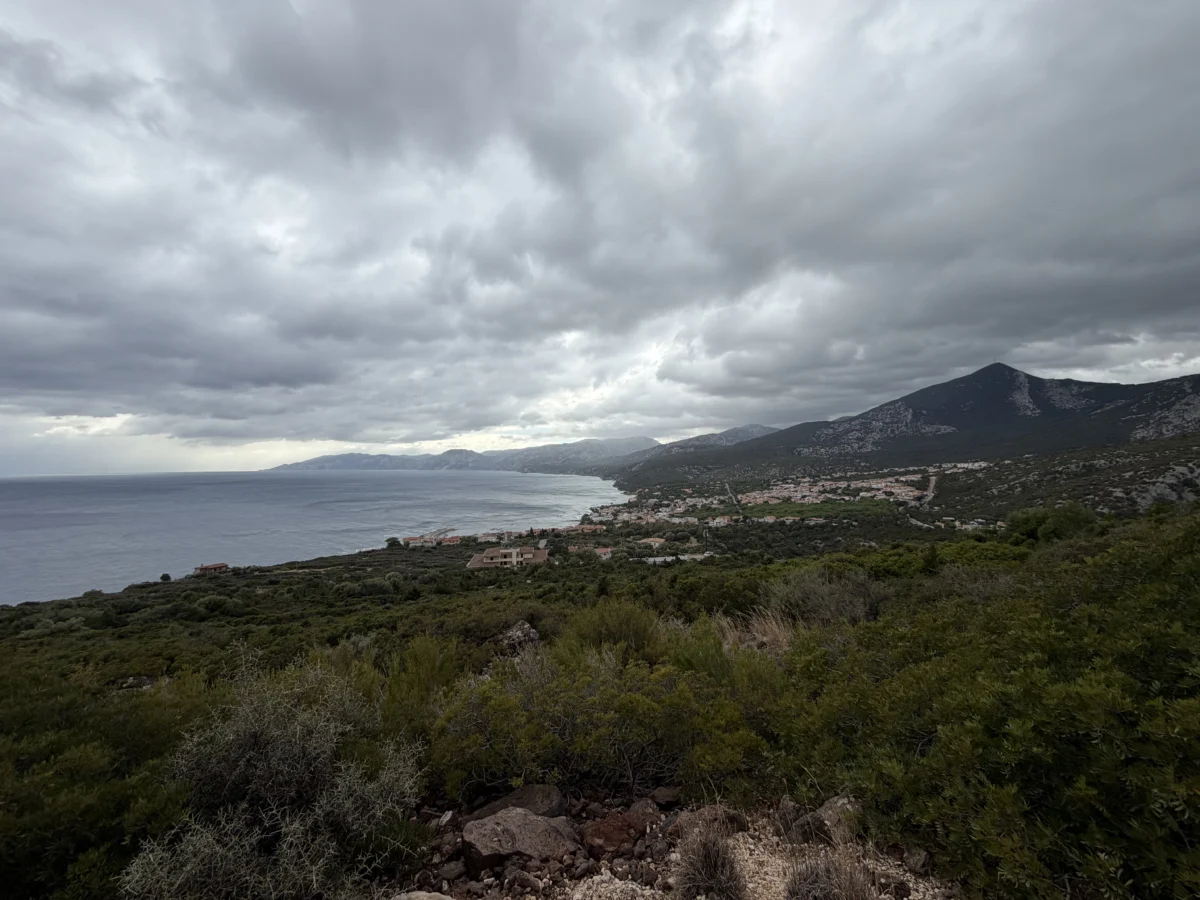
Cala Gonone provides access to several coastal natural features. We originally tried to take a boat from the Cala Gonone port to the Cave of the Sea Ox (Grotte Del Bue Marino), the southern entrance of a massive cave complex. The cave system is more than 15km (9.3mi) long, and connected to an even longer cave system that extends 70km (43.5mi) inland. However.. we missed the season by a day. A young Latvian man, Aidas, visiting from Amsterdam also interested in the caves kindly translated for us and confirmed that they were no longer running the daily boats and would only do private tours (which we knew to be very expensive). So.. we defaulted to what we can count on and went back and hiked (to the north entrance) instead!
The Cave of the Sea Ox hike (which we mistakenly expanded into a longer, 5.3km {3.3mi} loop) takes you along the coastal cliffs to the northern mouth of the cave system. To get to the trailhead requires driving south from Cala Gonone along the also-stunning coast first.
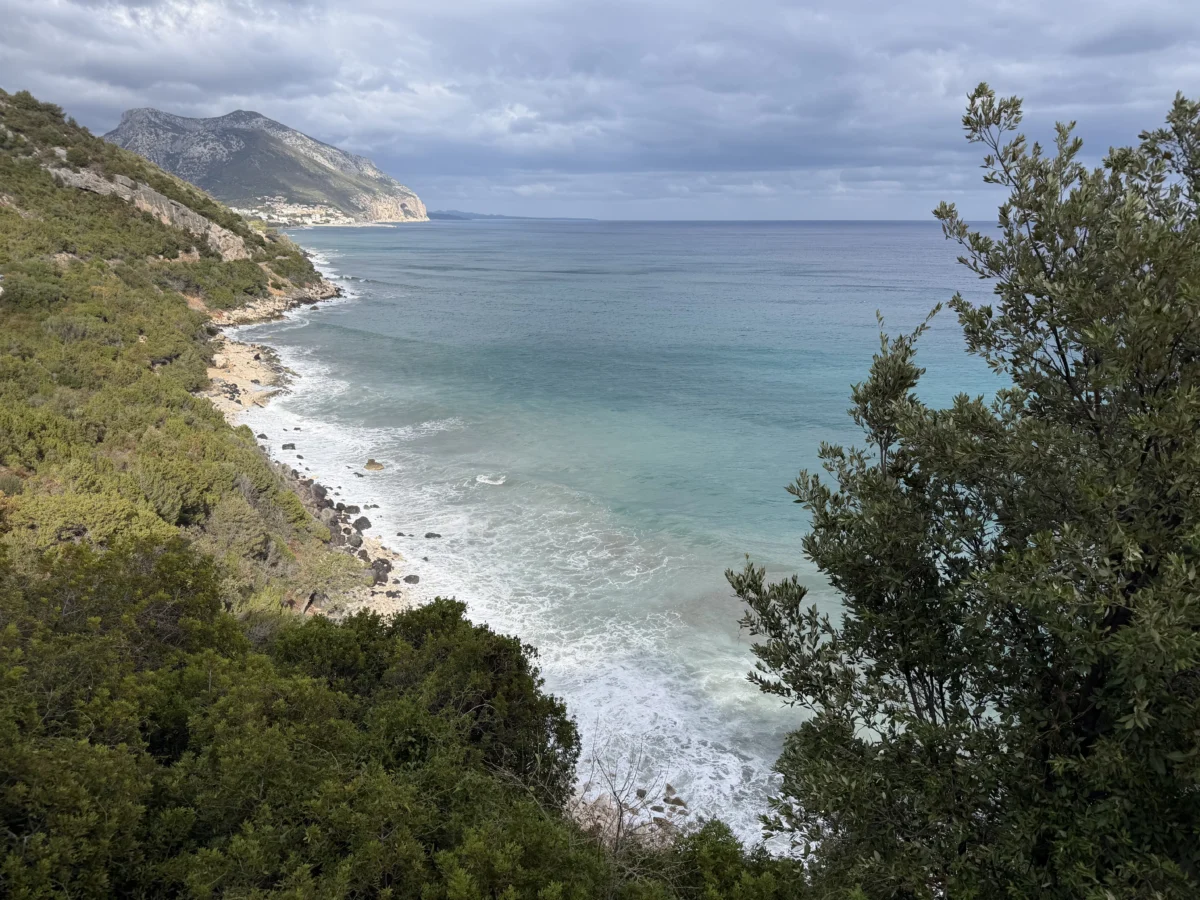
The hike starts by dropping down 40m (131ft) to the head of the beach, Cala di Fuili, on stone stairs. This is a popular rock-climbing spot as well, and a few climbing groups were there as we passed through.
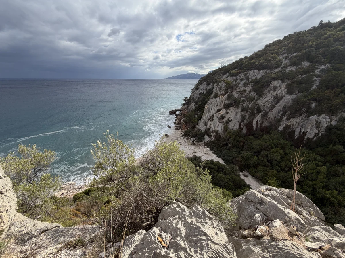

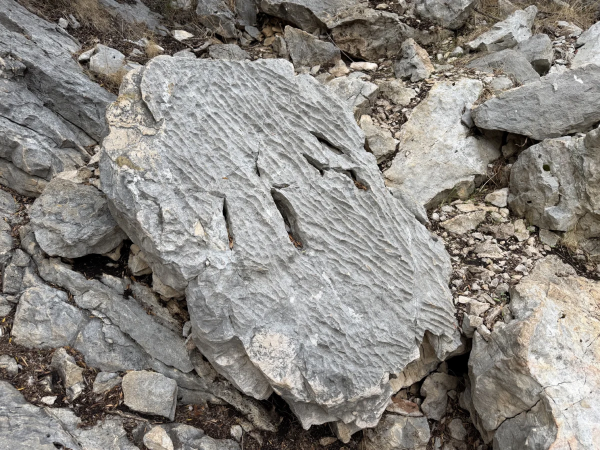
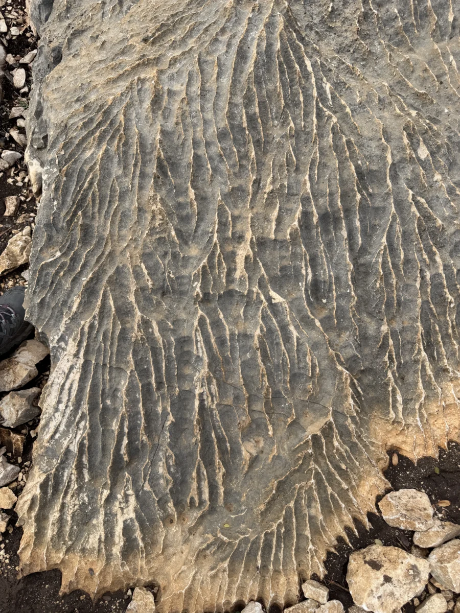
The trail then climbs right back up another near cliff via a series of stone steps and switchbacks. From there the trail splits (the most common path goes left closer to the cliff’s edge, but we mistakenly went right then returned the other way). The trail surface itself is almost entirely rock, but the surface of the rock varies from polished (slippery!) to rough, with patches of ~blistered shapes.

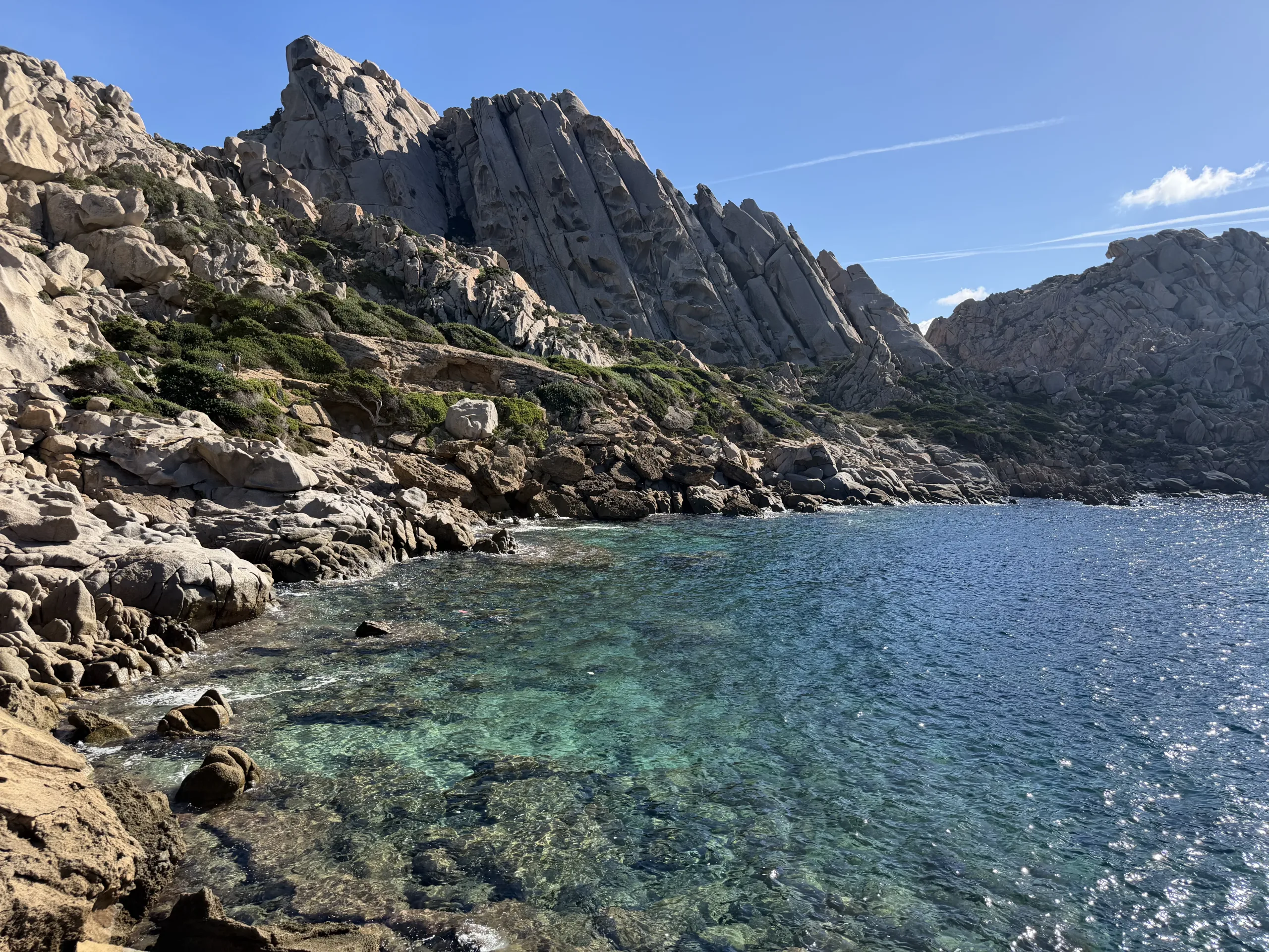
Throughout the hike we caught glimpses of the raging ocean below, and depending on the angle, sunlight, and direction, the water shone different shades of blue and radiant turquoise.
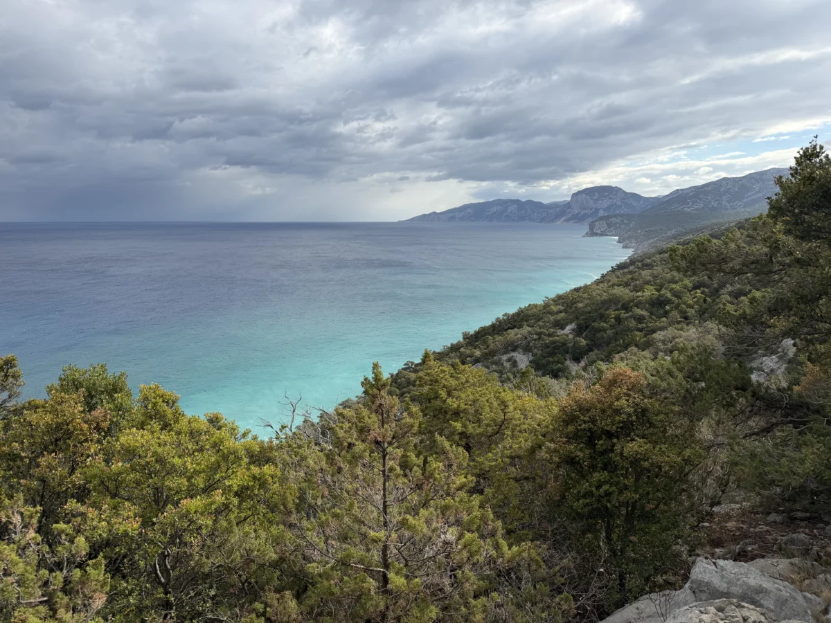
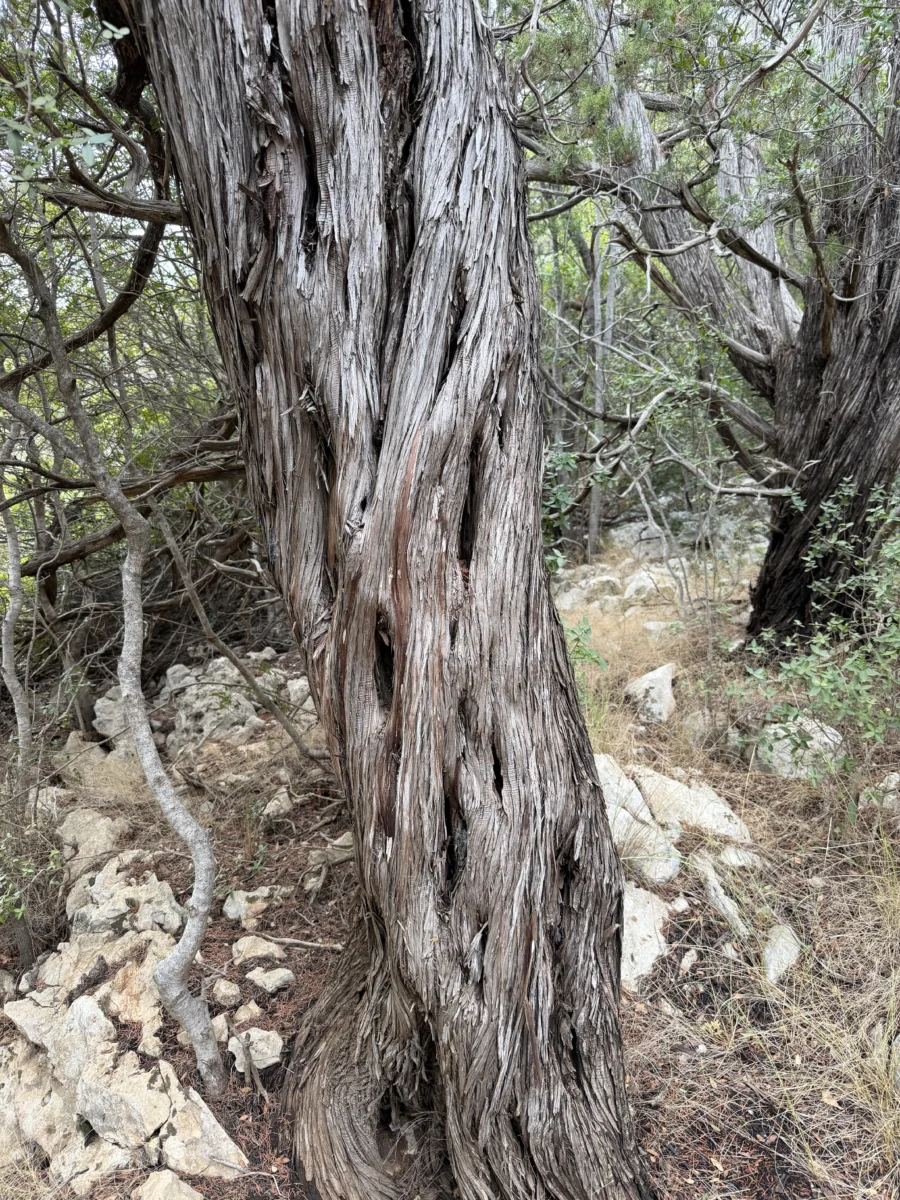
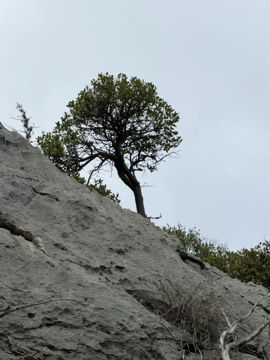
The limestone and scrub trees are heavily battered by coastal weather and you can see it everywhere.
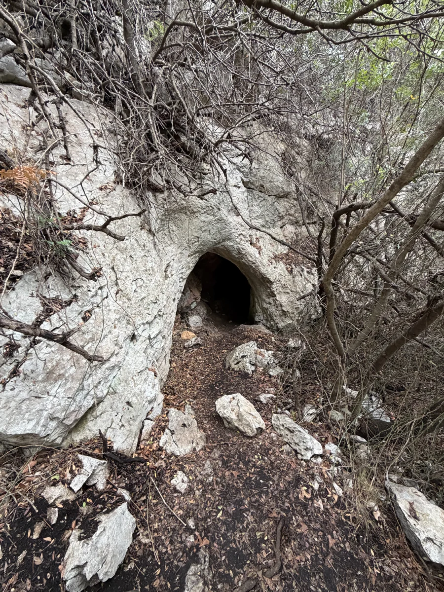
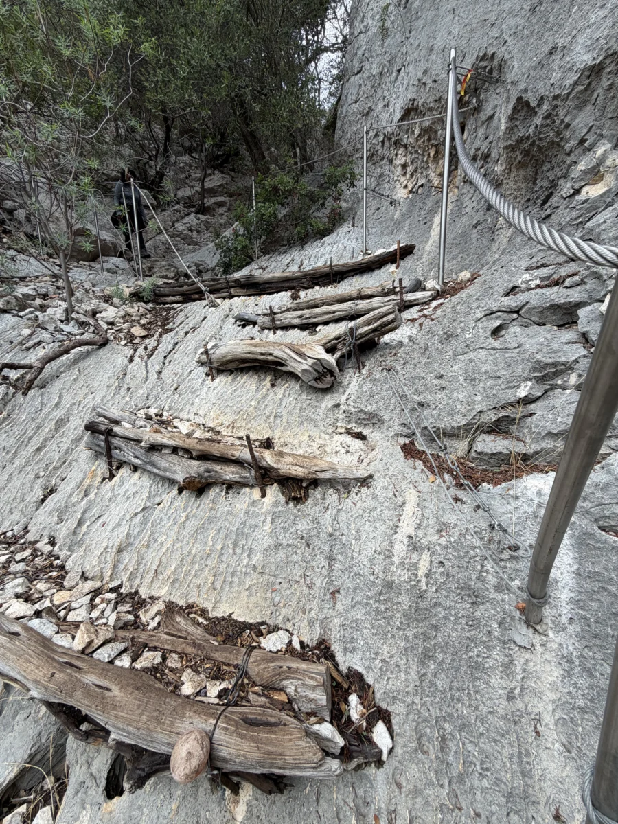
To access the cave mouth requires dropping down again through a narrow, very steep ravine to the cliff face itself. Trail conservators have anchored cables and ~stairs to help get down to the top of a metal staircase that descends down the face to a walkway that crosses the face into the mouth of the cave. Meanwhile waves are pounding angrily into the base of the cliff 4m (13ft) below. It causes a deep, bass-filled booming accompanied by spray just touching the walkway.

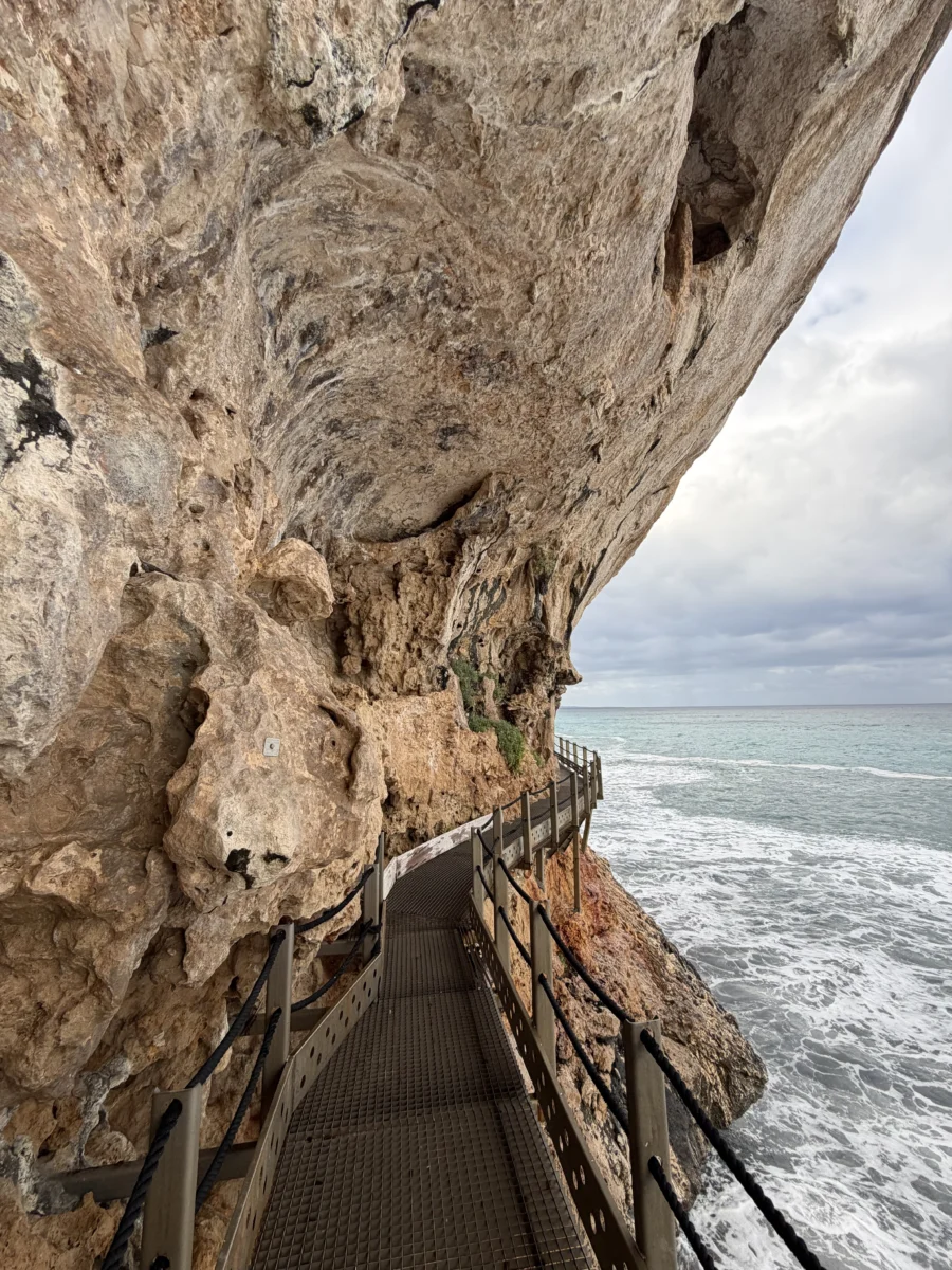
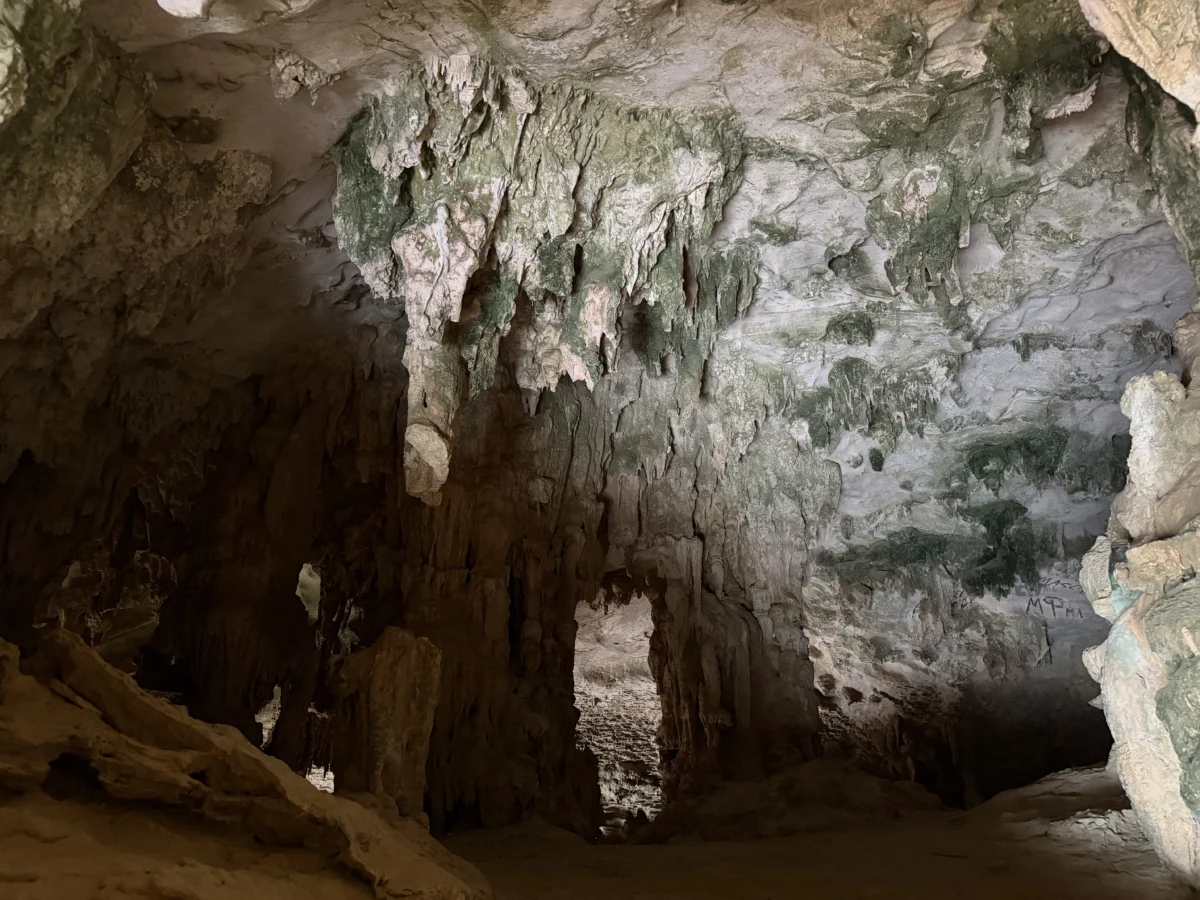
Since this is the north entrance to the cave, it is kept locked (which we expected) as all tours enter via the southern entrance. The mouth was amazing itself though, with the waves crashing below and warm (yes WARM, not sure why) air flowing out of the dark cave.
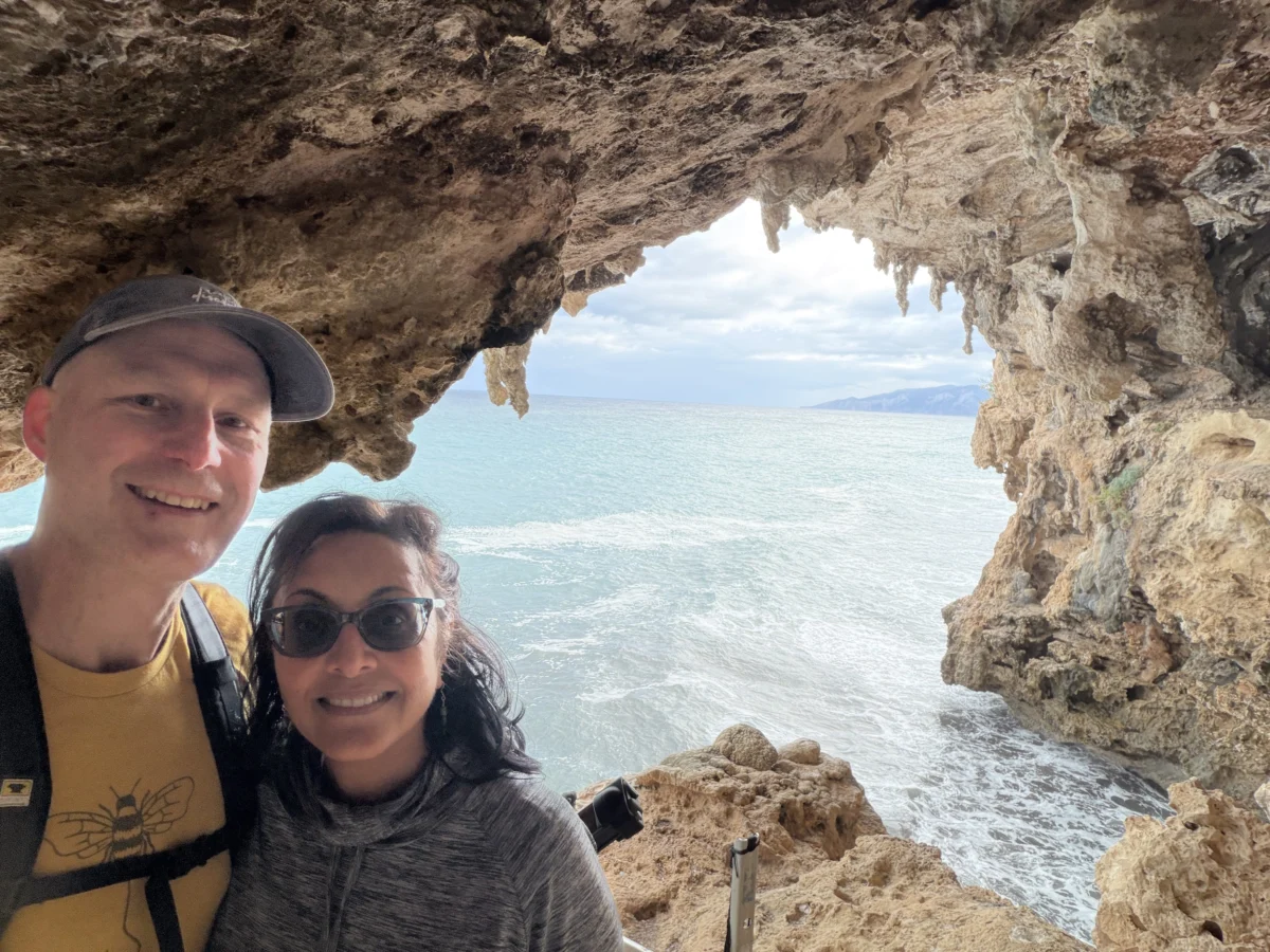
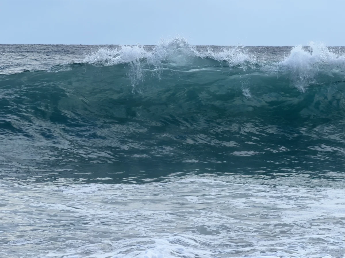
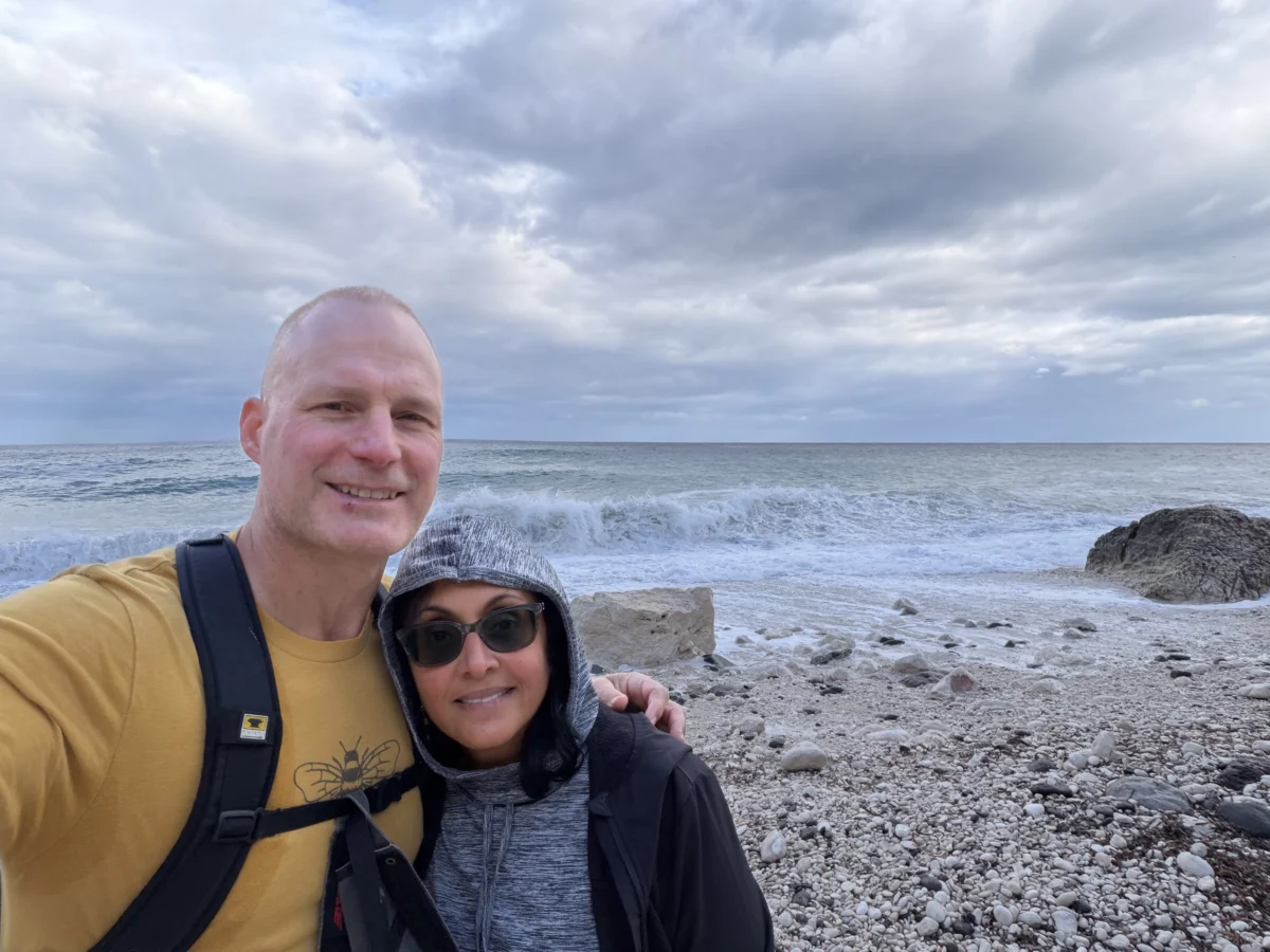
On the way back we walked out onto the pebbles of Cala di Fuili. It’s small and rocky but beautiful. We sat on a rock and watched the brilliant waves crash. What a setting.
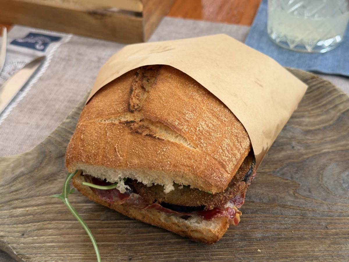
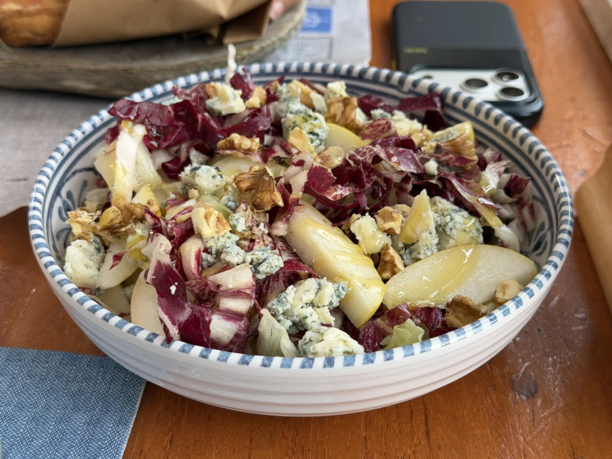
We had a good lunch in Cala Gonone at Retrovino. At first we thought they were a bit pricey and over-touristy but the atmosphere was really nice and the food came in generous portions. We would like to see green and/or red lettuce in the salad instead of iceberg but that’s a subtlety.

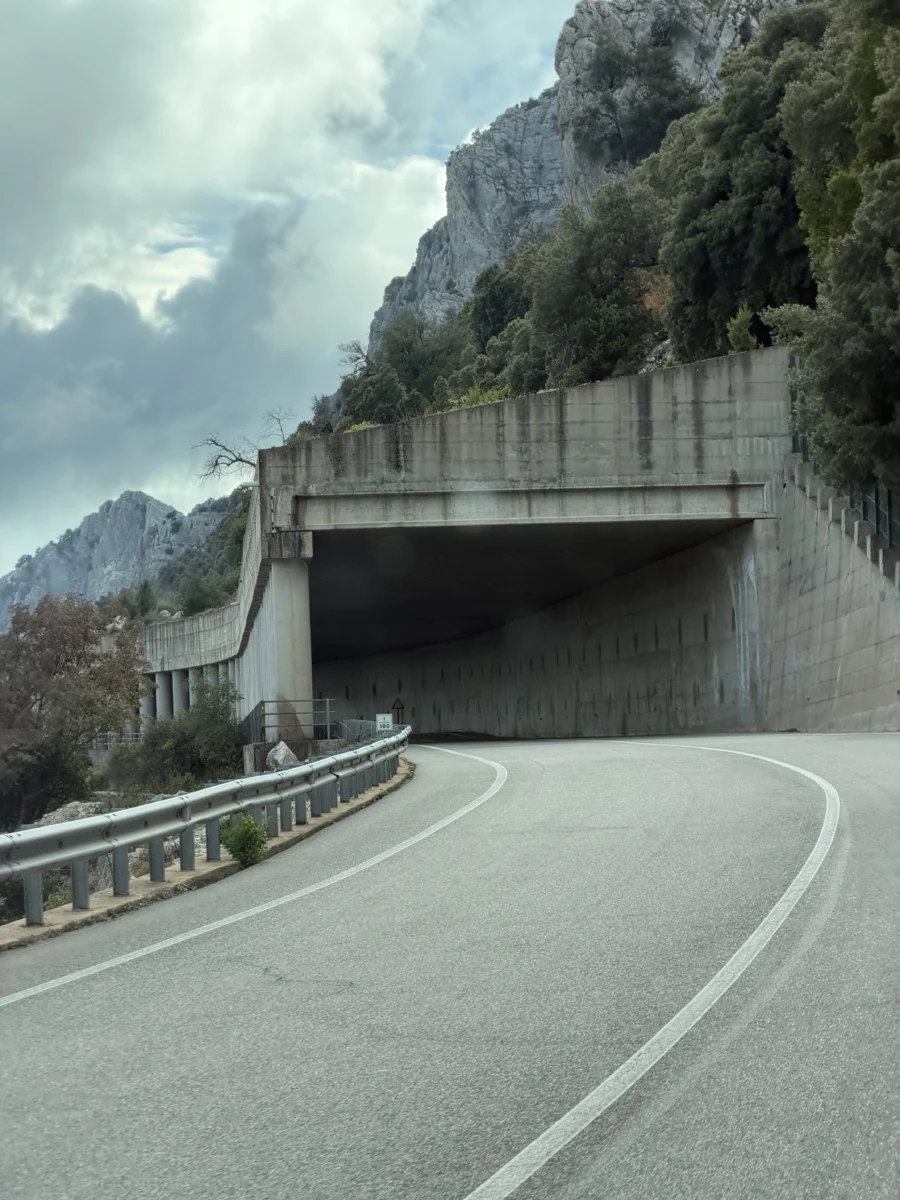
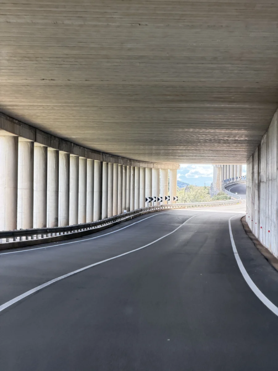
We drove south through the mountains to hike Monte Oro & Monte Scoine. As it worked out, the drive was as challenging as the hike, and certainly took more time. This “highway”, SS 125, locally known as the “Route 66 of Sardinia” is two lanes wide, but no more than that. The entire 50km mountain pass between Dorgali and Baunei snakes through the Supramonte massif and clings tightly to steep cliffs. It reaches its highest point at the Passo di Genna Silana (1,002 m/3,287 ft elevation), and has sheer drop-offs of 200-500m (650-1,640ft) down into rugged limestone gorges all along it. It’s Italy so everybody also drives as fast as possible and tailgates you if you don’t. Sometimes I play the game, more often I pull-over.
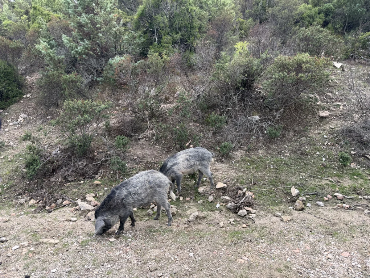
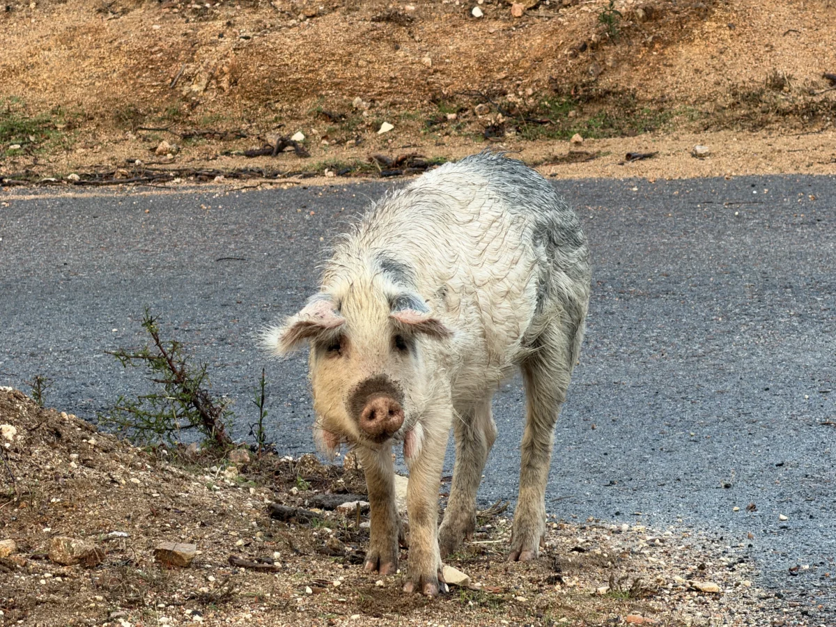
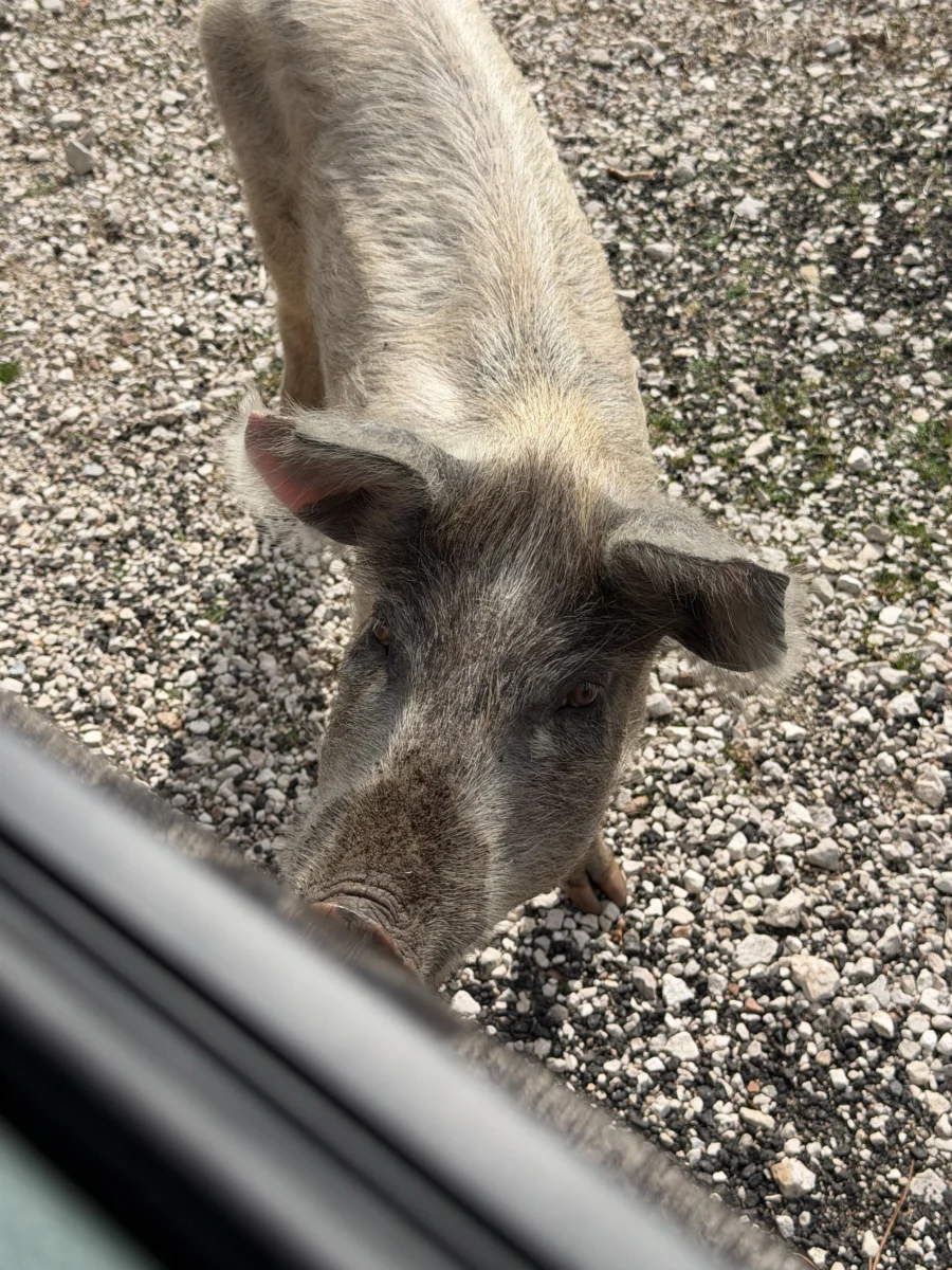
What fun would an insane, high-speed mountain highway be without random animals crossing?! Enter.. sheep and wild pigs. Apparently some of the pigs are true wild boar and others are feral, but they certainly know no bounds and have no fears.
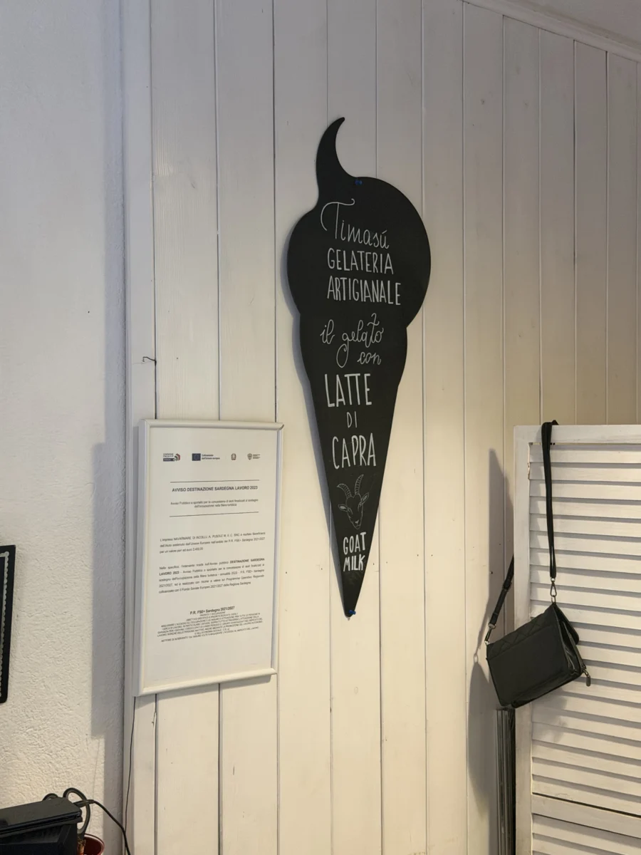
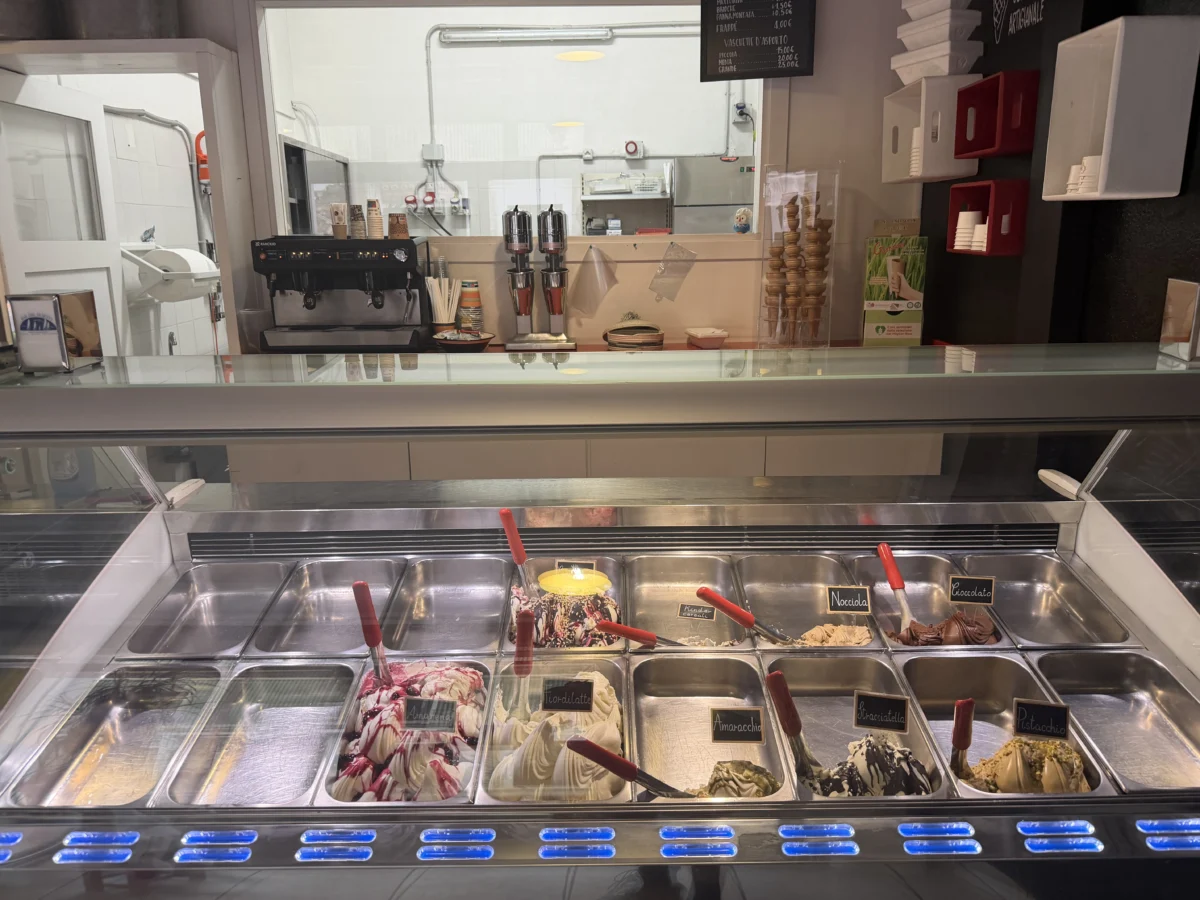
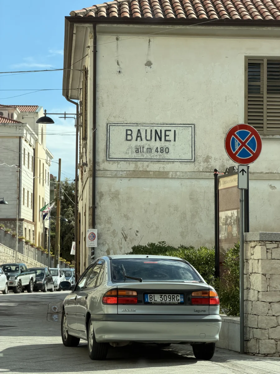
Baunei is a fascinating village along this highway as well. It is world-known for being a core part of a Sardinian Blue Zone, and it’s easy to see why when you read about the factors Blue Zones have in common. Among other things it is very isolated (due to having this highway? “scared-isolated”?), and on a very steep hillside so every walk is a healthy hike. We think another secret ingredient might just be their gelato.. Right on SS 125 they have an adorable little gelato shop, Timasú Gelateria Artigianale and we were lucky enough to go the last day they were open for the season. The two girls that ran it were very sweet and the gelato delicious! It’s all goat milk-based although that doesn’t introduce a noticeable change in flavor (to us at least, guess we need to have it side-by-side with cow’s milk gelato…).
Of course stepping out of a car into this lovely street in the middle of nowhere to the tune of.. The Cars?! was hilarious. Every place we visited in Sardinia had English language music playing, usually American 80’s and 90’s pop music.
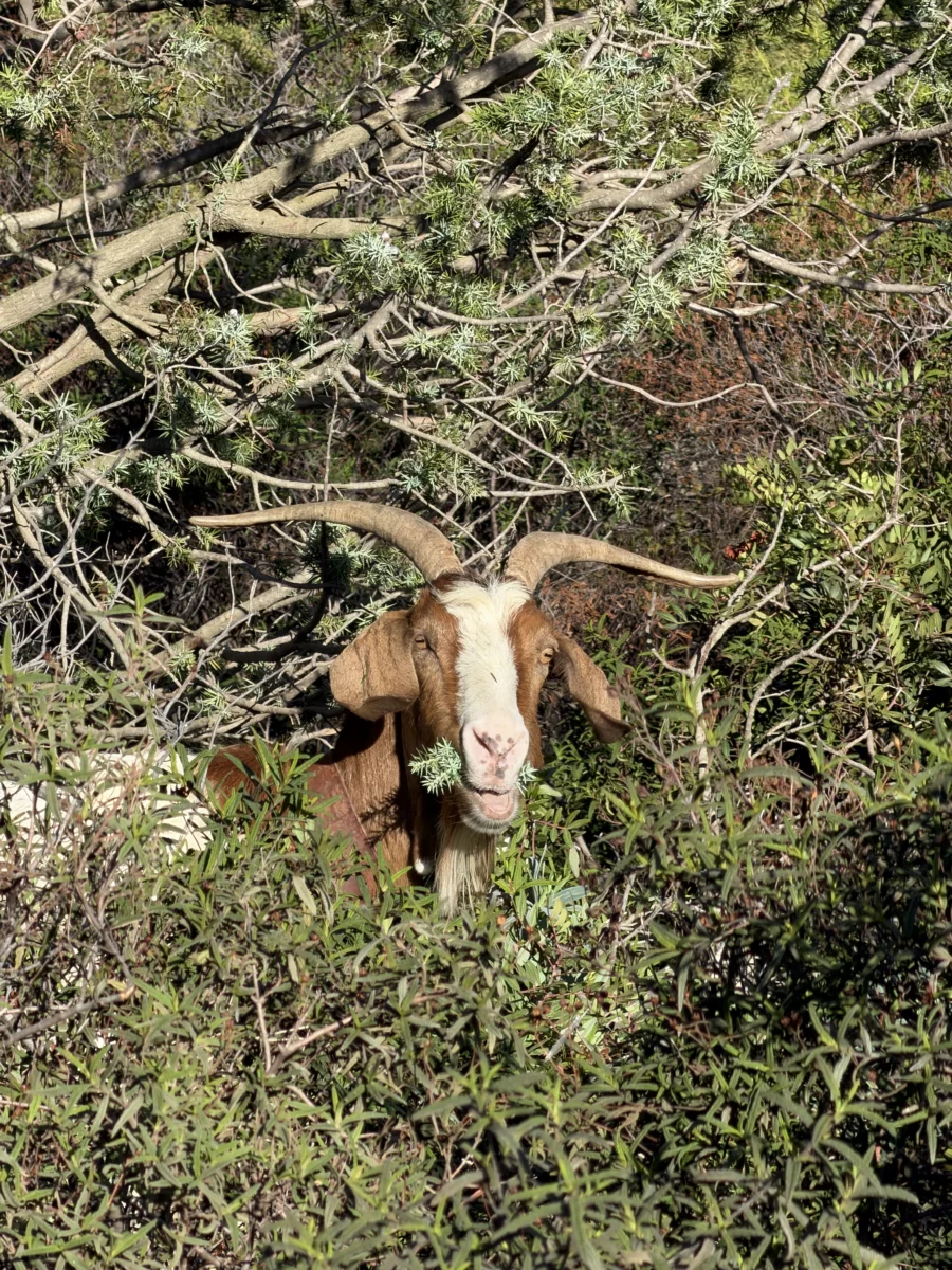
The hike starts at a small parking area on the hill across from and above where AllTrails says to start. They also don’t mention that a local goat herd lives there. Not aggressive in our experience, but there is power in numbers and “never trust a goat” seems like something somebody should have said long ago.
Always nice to get an early preview of the hike to come. Our route went along the right side of the left rock formation and 98% of the way up the right side of the right one!
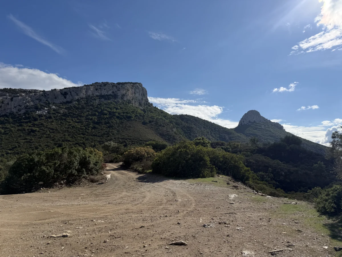
You start up pretty high (~428m/1,404ft elevation) and pretty much only go up, so accordingly the view is good to start and only gets better. The highest we got was about 620m/2034ft elevation near the summit of Mount Scoine. This is another big-bang-for-the-buck hike, with almost constant views of the mountains to the west and/or the coast to the east.
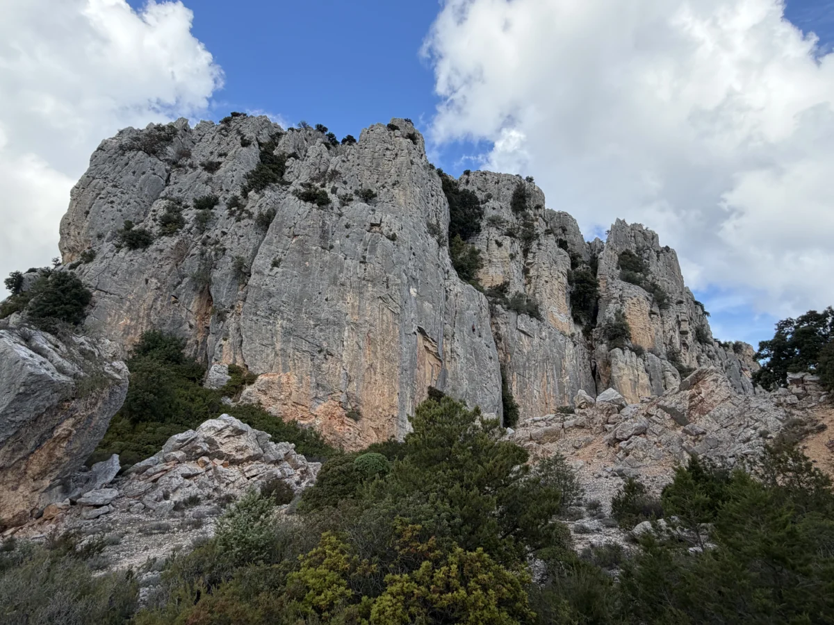
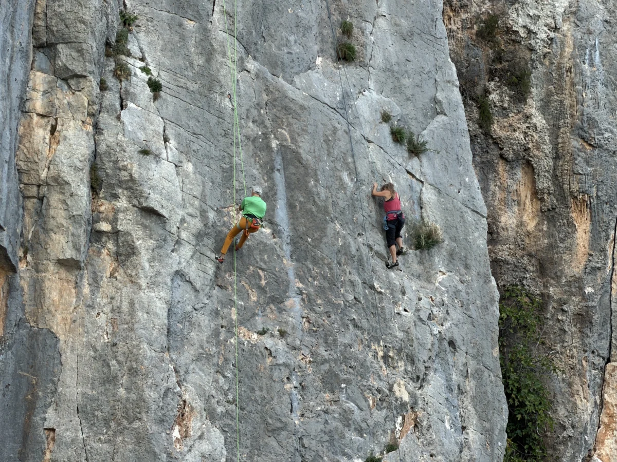
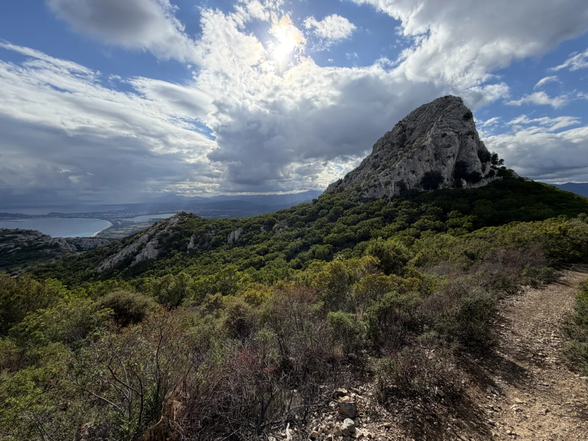
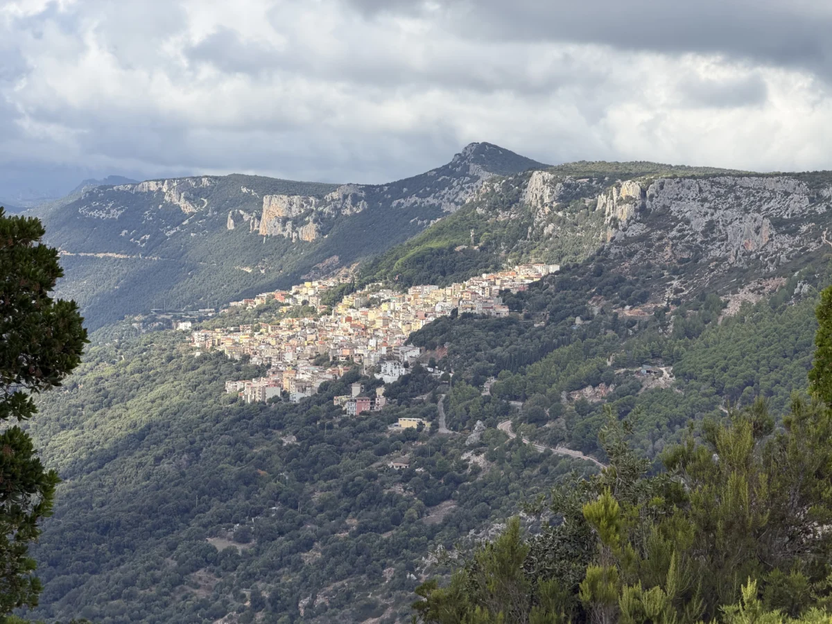
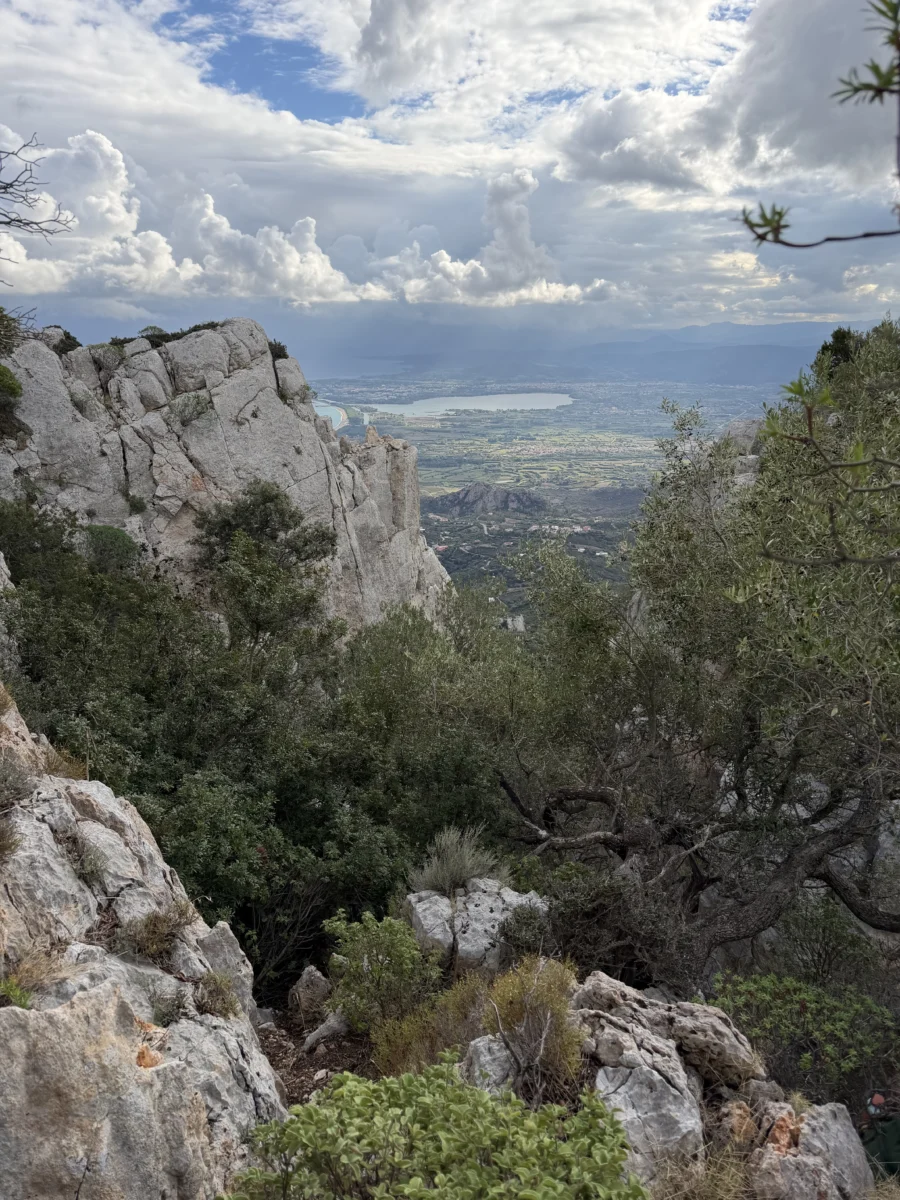
We followed our trail maps to the end, then found goat paths and rock scrambles to get us even higher. That still left us maybe 10m (33ft) vertically shy of the top. I could definitely have free-climbed it but it was windy and we decided we had gone far enough. Oh and lunch was calling us. So we found a nice natural bowl in the rock and hunkered down and ate the delicious sandwiches Savitri had prepared. Highlight of any hike!
We called my parents and our son (couldn’t get enough signal for our usual FaceTime video call) and were having a good chat when I noticed that the horizon toward Gorropu had gone dark.. and blurry. It was an obvious fast-moving rainstorm so we got off the phone quickly and hustled down. We wanted to at least get off the slippery rocks before the rain hit us.
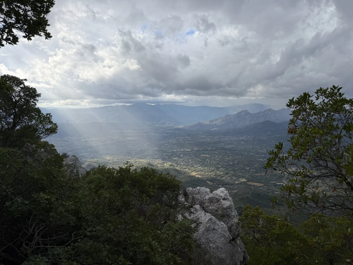
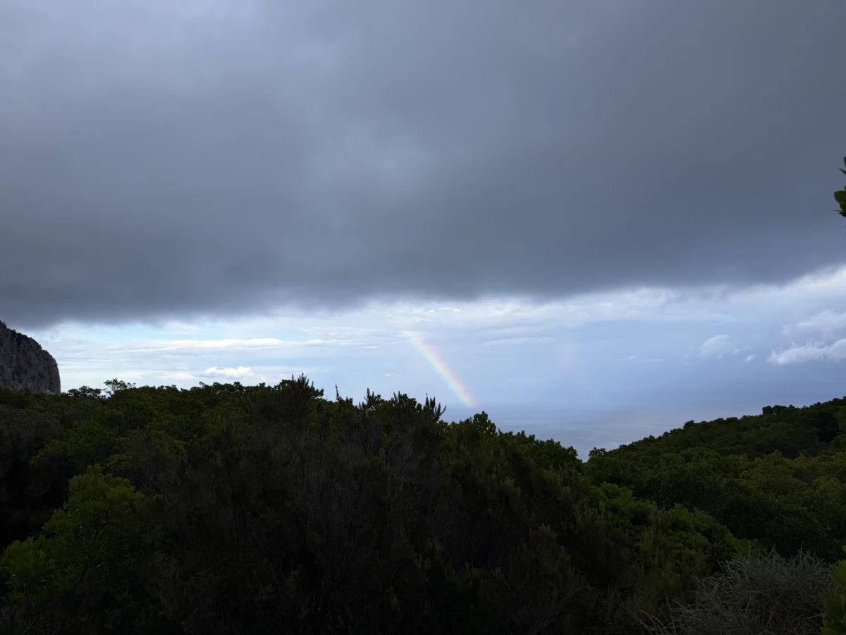
We heard thunder as we jogged from Mount Scoine back by Mount Oro, and caught a few brief splashes of rain, but for the most part the storm followed the terrain and flowed into the valley toward the sea. By the time we approached the bottom the valley was a whole different scene than before and it was starting to rain in earnest.

Fortunately we were only in it for maybe 1-2 minutes before reaching the car. We sat in the car and watched each of the rock climbing groups drive out, thankfully nobody got stuck on the cliffs with rain.
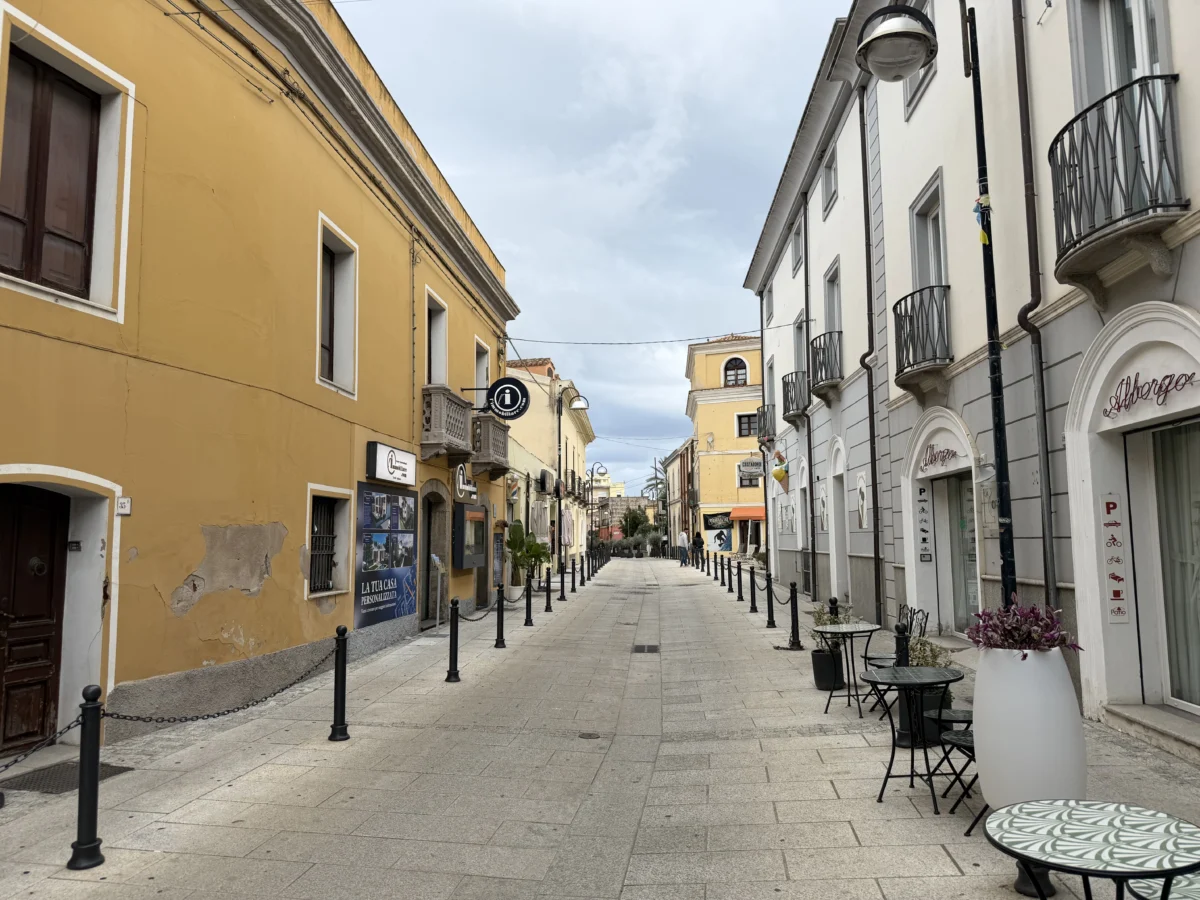
Another day we had lunch in Tortoli, a town ~16km/10mi south from Baunei and just 1-2km/0.62-1.2mi inland from the coast. It is small and seasonal so was completely dead when we were there.
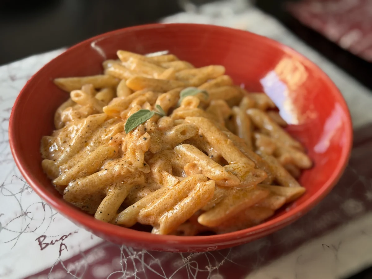
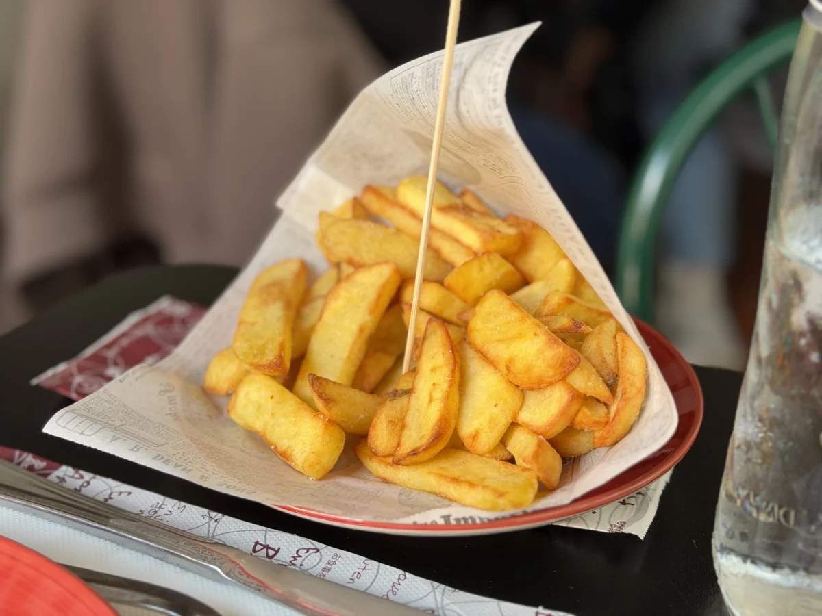
We ate at Caffè Italiano di Muggianu Mauro. It’s a family-run spot with simple fare but was what we needed when we needed it. The salmon was scarce in the pasta dish but the pork loin was extra tasty.

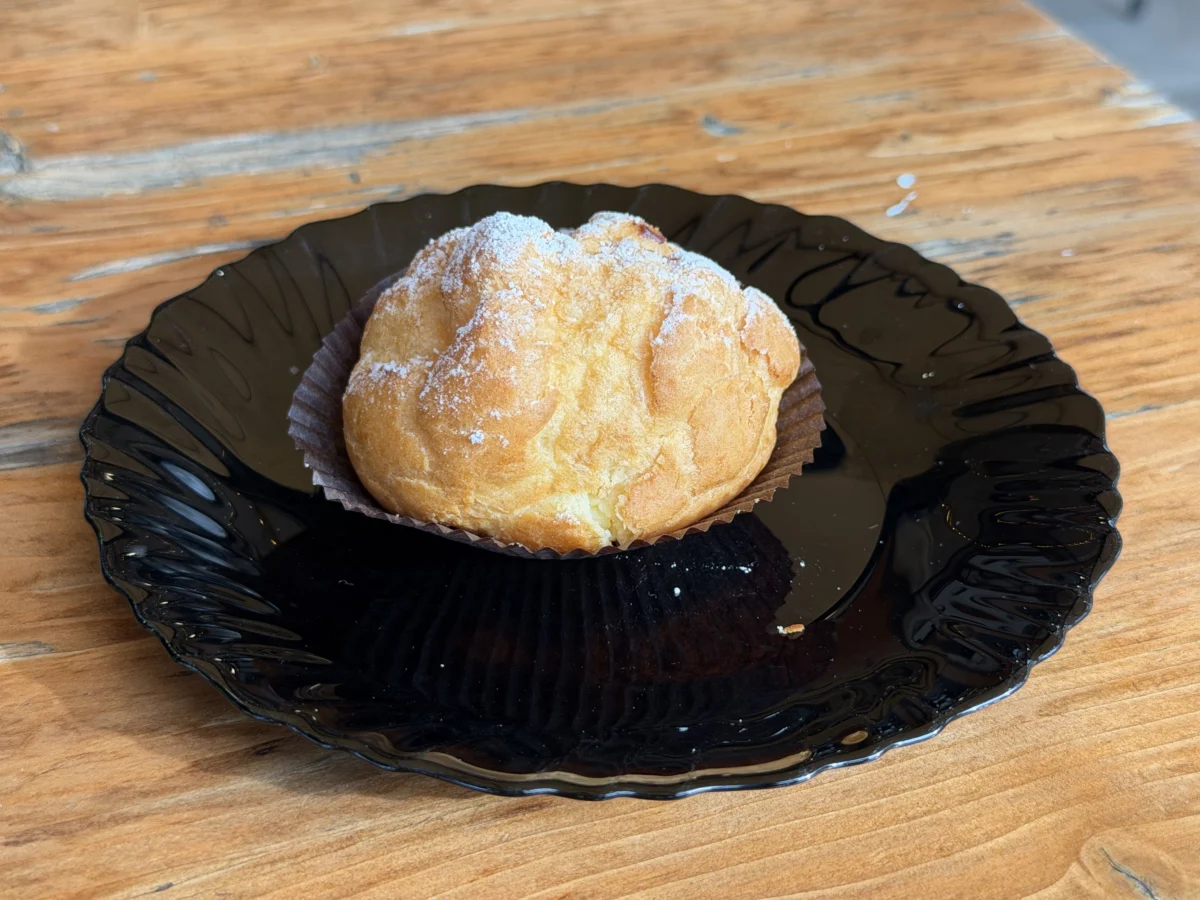
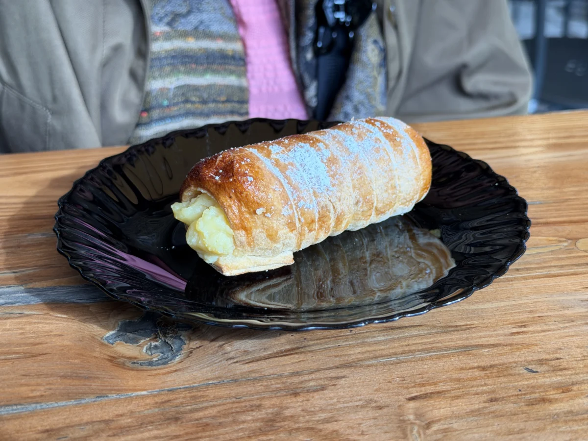
For dessert we went down the street to Maya Caffè dolce & salato and had a beigne crème and a custard pastry (tornado). Cute little place with lots of seating.
The most impressive and famous hiking area in this region is into Gorropu Gorge, aka “The Grand Canyon of Europe”. You can access it from a few different trailheads and there is even a jeep service available to drive you out (sort of, see note later!) if needed. We opted to hike from below via the S’Abba Area Bridge Trail.
It bodes well for a hike when the parking lot features cliffs that tower ~500m (1640ft) over us. Magnificent, especially with the morning light bringing out the gold in some of the rocks.

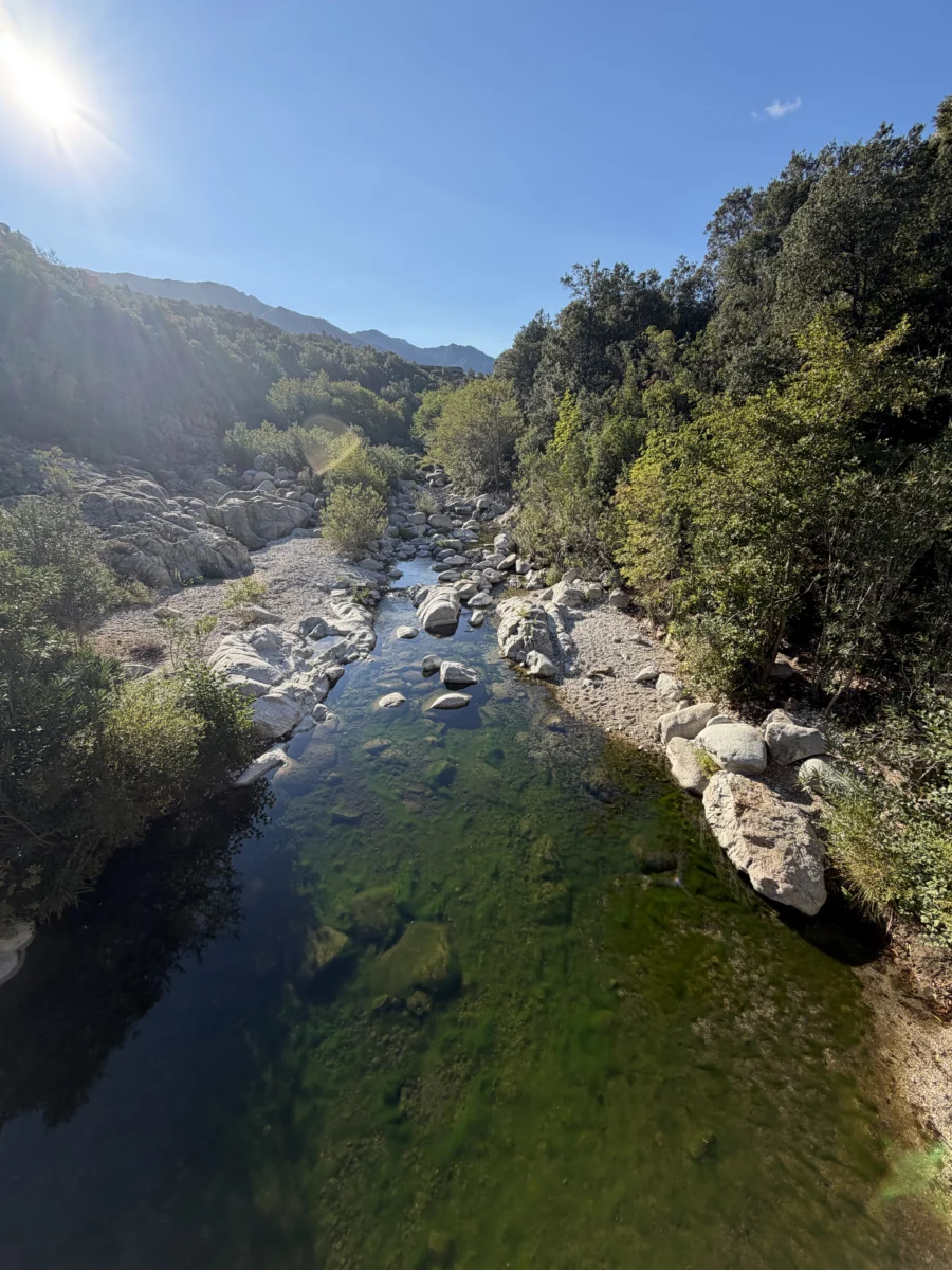
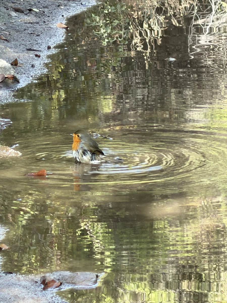
This is a longer approach (~6.2km or about 3.9mi one-way) than some others, but the net elevation gain is limited to ~200m (656ft) so it’s pretty easy going. We walked almost entirely alone along the tranquil, sunny mostly-wooded trail, with birds and insects as our soundtrack.
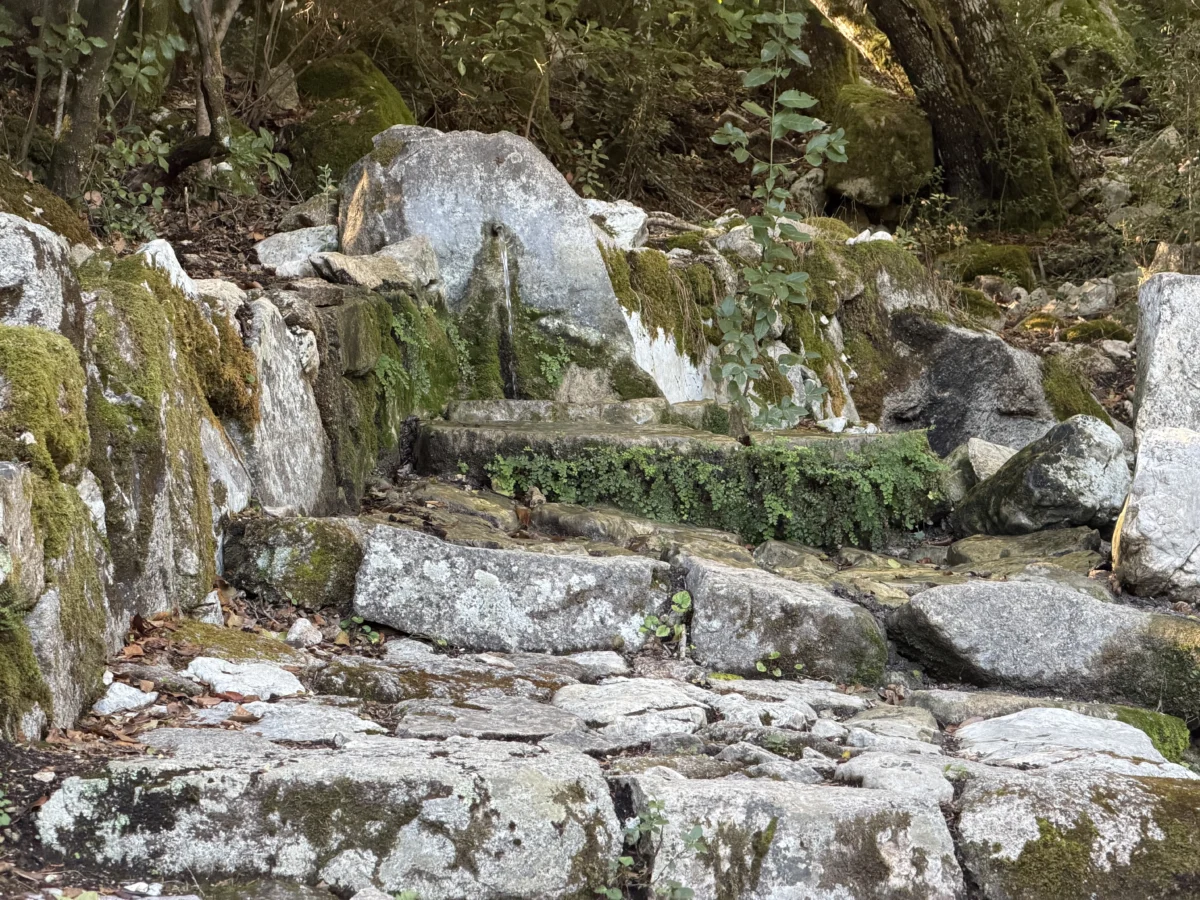
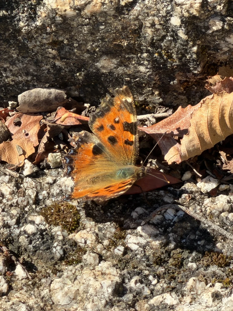
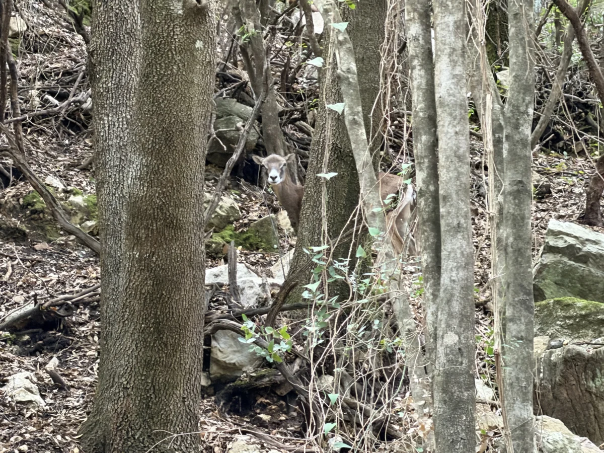
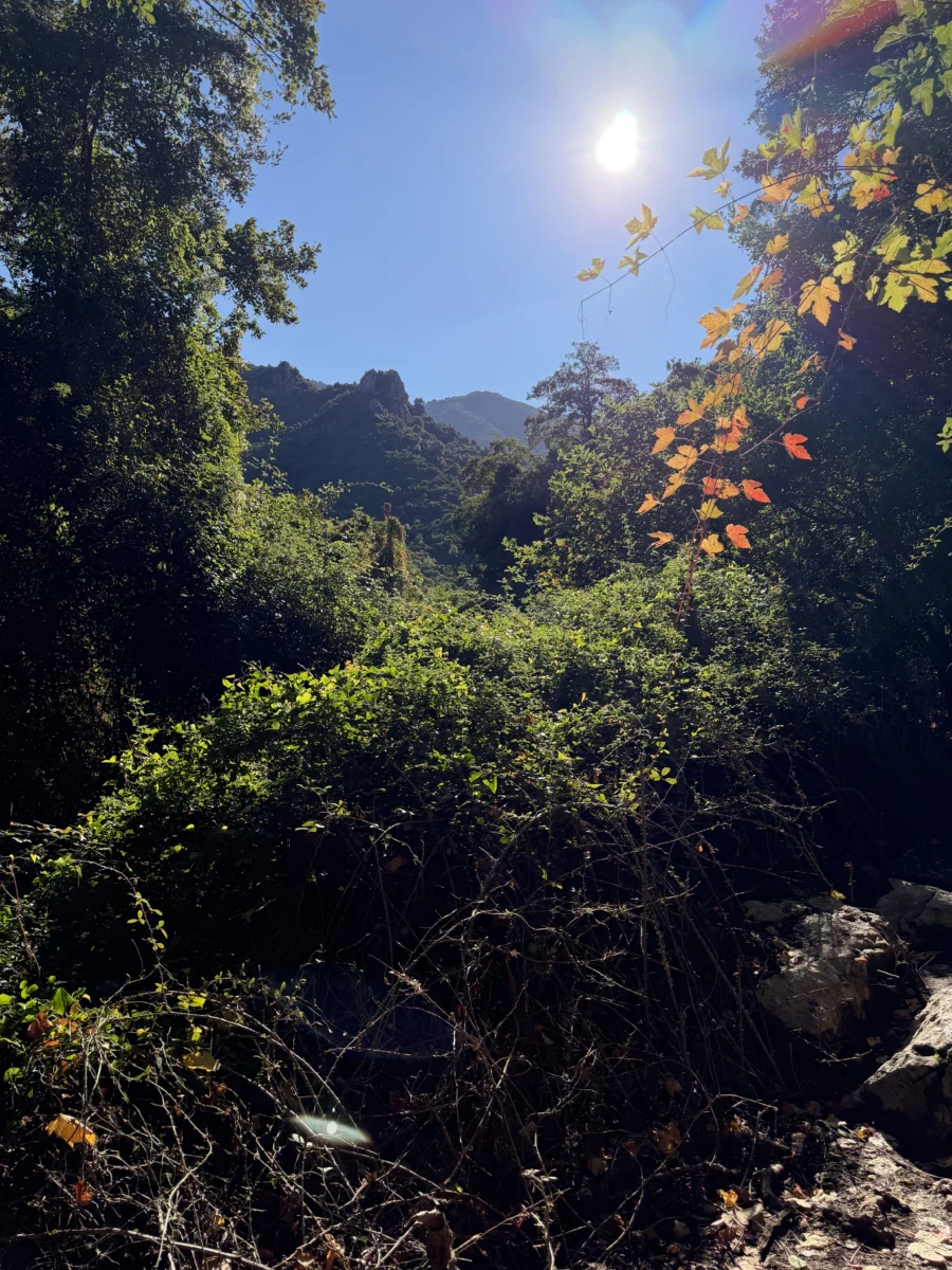
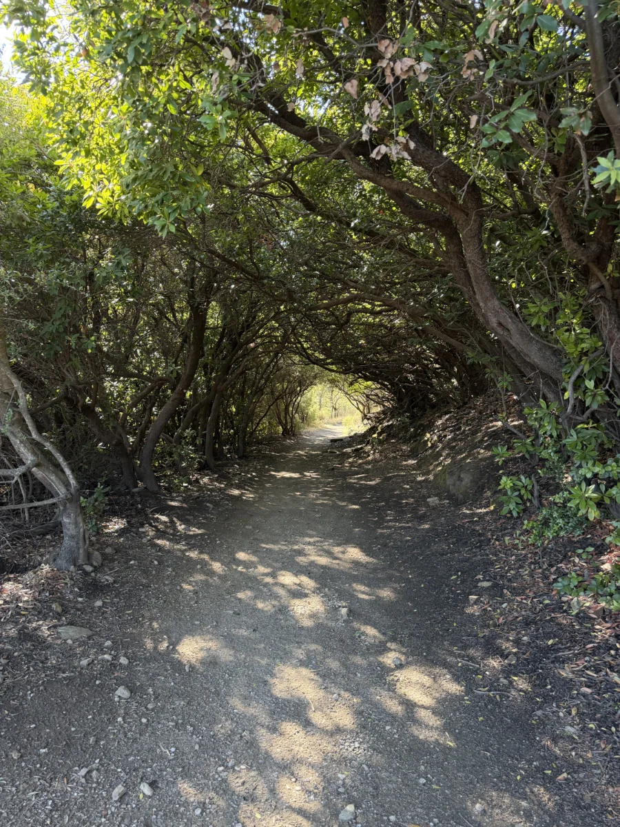
About halfway to/from the gorge there’s a sign indicating where people taking a Jeep back can cross the river to go to the designated pick-up spot. This seemed crazy to us, as anybody too tired/frustrated to hike out certainly wouldn’t want to (or maybe couldn’t) hike all the way to the meeting point.
This gradual approach may not be as dramatic as the steeper ones, but we found it incredibly peaceful and beautiful. It also avoided the long & winding drive along the top of the valley. In fact at some points we could look across the valley and make out the support structure for the highway we took to Mt Scoine.

During the last ~kilometer (.62mi) before the gorge everything changes. The trail is the same, the day is the same, but the upcoming canyon mouth comes into view and contextualizes the rest of the hike.
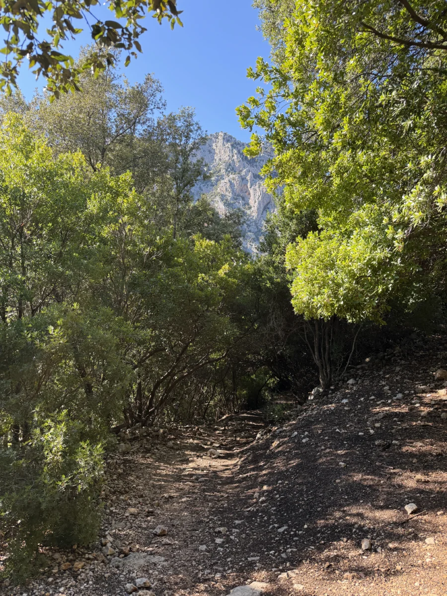
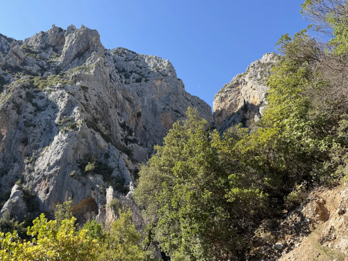
The trail is wide and flat side-to-side until the last ~50m (164ft), where it becomes a steep rock scramble down to the mouth of the canyon. It’s important to note that the numbers thus far bring you to the “ticket office” (= small tent with somebody in it) at the mouth, where you pay then walk up into the actual canyon itself.
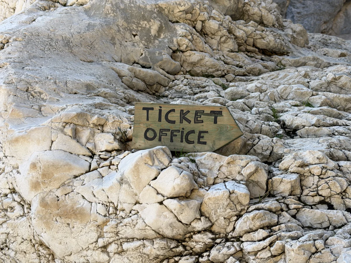
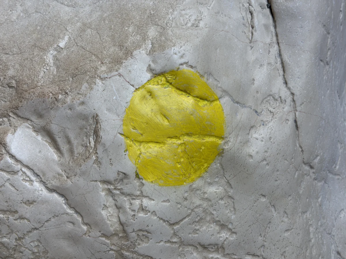
The canyon floor is gently uphill but gets progressively more difficult as you have to clamber over, under, and around massive boulders. The trail is clearly marked fairly well with green, then yellow, then red markers indicating the recommended route and estimated difficulty.
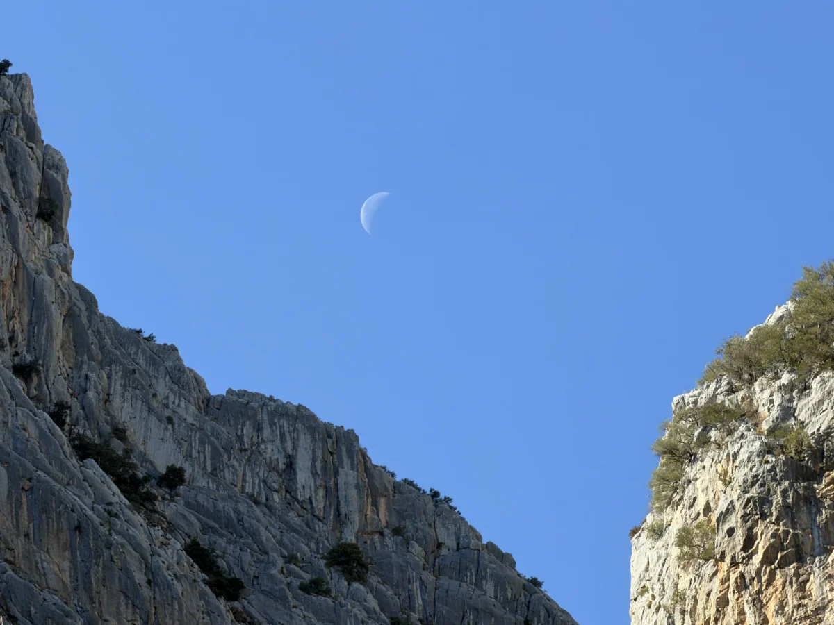
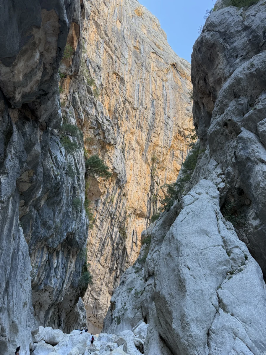
Meanwhile.. above. The sheer canyon walls quickly climb in height as you clamber deeper, reaching a maximum height of 500m (1,640ft) above you. At that point the width of the canyon is only about 4m (13ft).

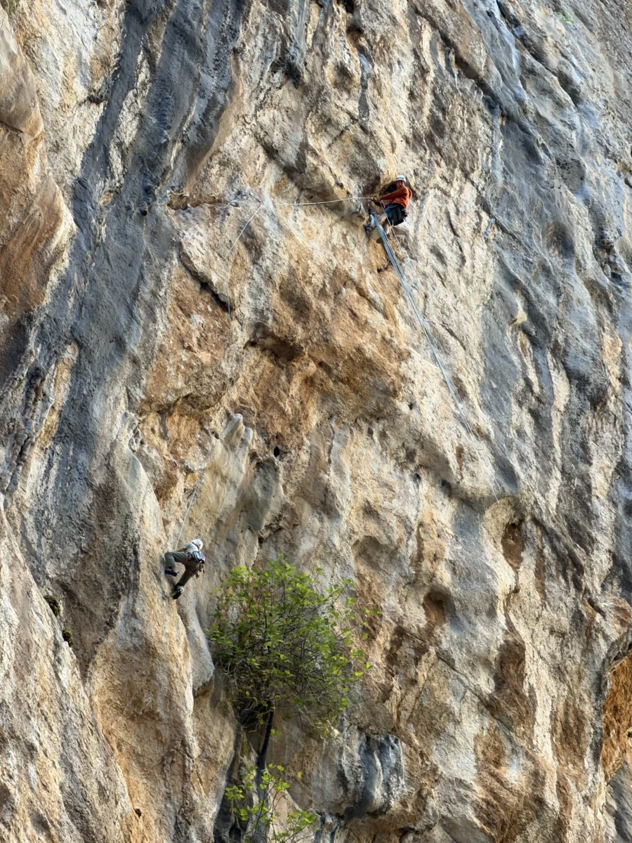
Of course there are still rock climbers daring enough to scale these walls. Considering how smooth and slippery the rocks are at the base I can only imagine what they’re holding onto.
Our entire GPS-based hike, which included walking through the green and yellow portions to the edge of the red, and walking a little bit around the entrance to find a good place to sit and eat lunch, then back, totaled up to exactly 14.5km (9mi). Tiring but very very well worth it!
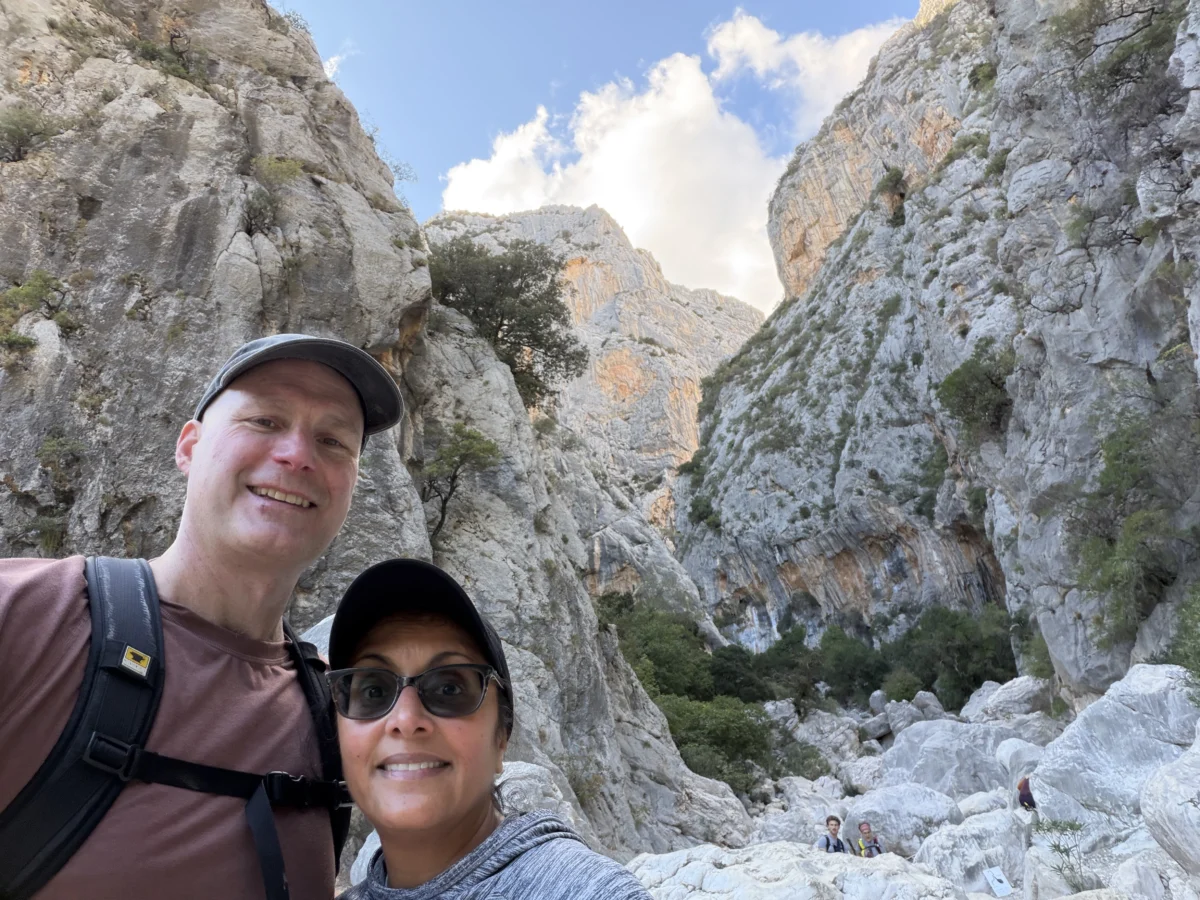
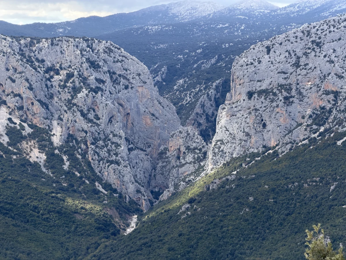
Any Sardinia highlight’s list will tell you that hiking Gorropu Gorge is a must-do activity. It’s true.
When we left Dorgali to travel south to our next regional base, we went a bit out of the way to pass through Nuoro. Nuoro is by far the biggest town in the area and way up on a hilltop. Unfortunately this meant that when we drove through it was a busy traffic time so parking was a mess. We decided rather than rush a visit we’d put it on our “next time in Sardinia” list to properly explore.
We also drove SS 389 south of Nuora, passing between the west side of many of the mountains we’d seen between Dorgali & Baunei and the even bigger (biggest!) mountains farther inland. This includes Punta la Marmore, the tallest peak in Sardinia at 1,834m/6017ft. It was a cloudy day when we drove through so we didn’t see anything.. so it is also on our “next time in Sardinia” list!
We were thrilled with central east Sardinia and would love to go back and hike tons of peaks and beaches that we didn’t have a chance to. Getting around with their crazy roads is a pain, since even if you’re a confident driver they simply take a lot of time and energy. However they are definitely worth it!


Leave a Reply