The island of Lombok has many geographic regions, all of them under the watch of Mount Rinjani in the north. Rinjani is an active volcano and rises 3,726m (12,224 ft) above sea level, prominently visible from every part of the island. All of northern Lombok is shaped around the flanks of Rinjani and its smaller neighboring mountains. As a result the road network is also moulded around the steep volcanic ridges, and short crowfly distances often result in long driving routes.
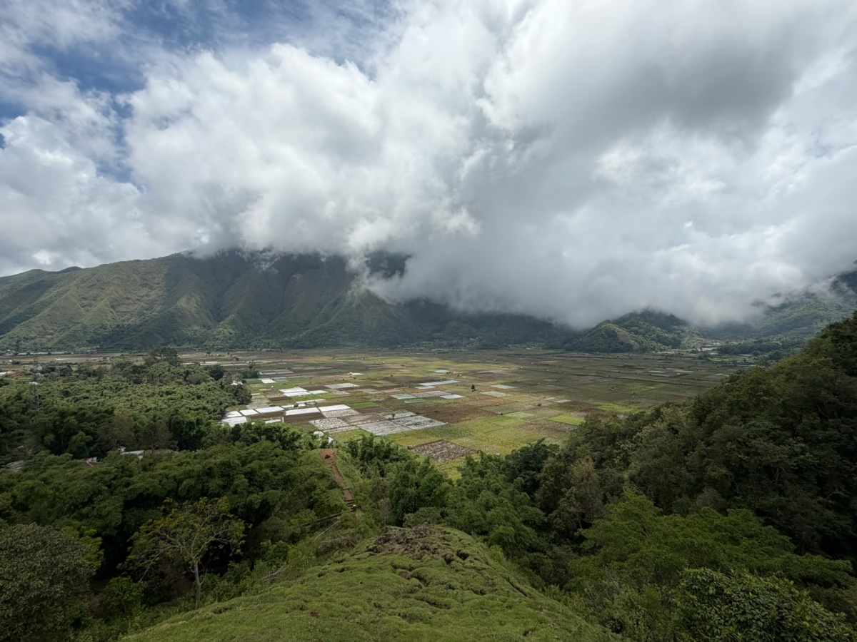
Early in our trip to Lombok we drove up to Sembalun Valley, just northeast of Rinjani. It was too early in the year to climb Rinjani (and we weren’t so ambitious anyway!), but it was a good time to see the mountains. As is so often the case, some of the initial glimpses were the most breathtaking. We pulled over and viewed this ancient caldera through a roadside warung (ubiquitous, small family eatery and/or grocery store) to the northeast as we drove from the village of Sembalun Lawang toward the neighboring village of Sembalun Bumbung. Rice paddies and mountains never got old on this whole trip! There is rich volcanic soil across Indonesia, and this valley is famously robust in supporting many different crops. Crops here include rice of course, and also garlic, red chili, onions, potatoes, strawberries, cabbage, broccoli, apples, jackfruit, bananas, avocado, coffee (Robusta), vanilla, cloves, and tobacco.
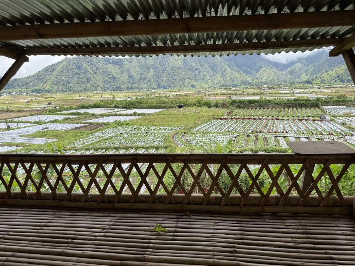
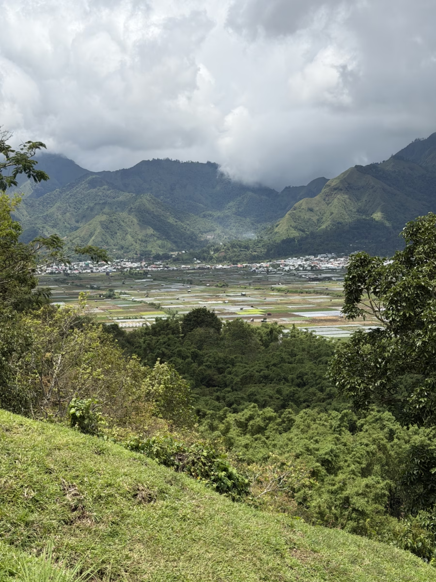
Meanwhile, across the road to the west, small farms with different crops were clustered all along the base of Rinjani itself.

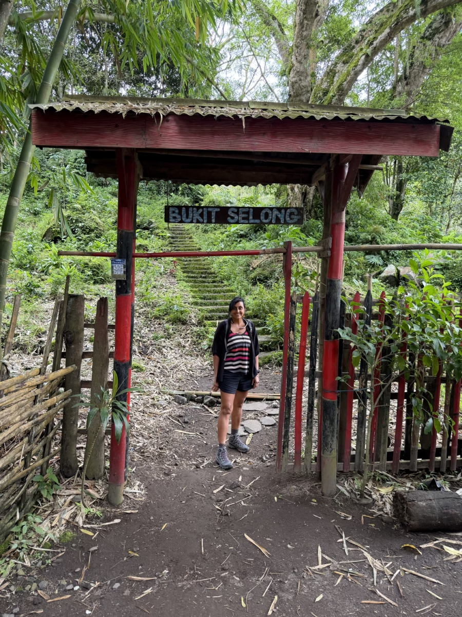
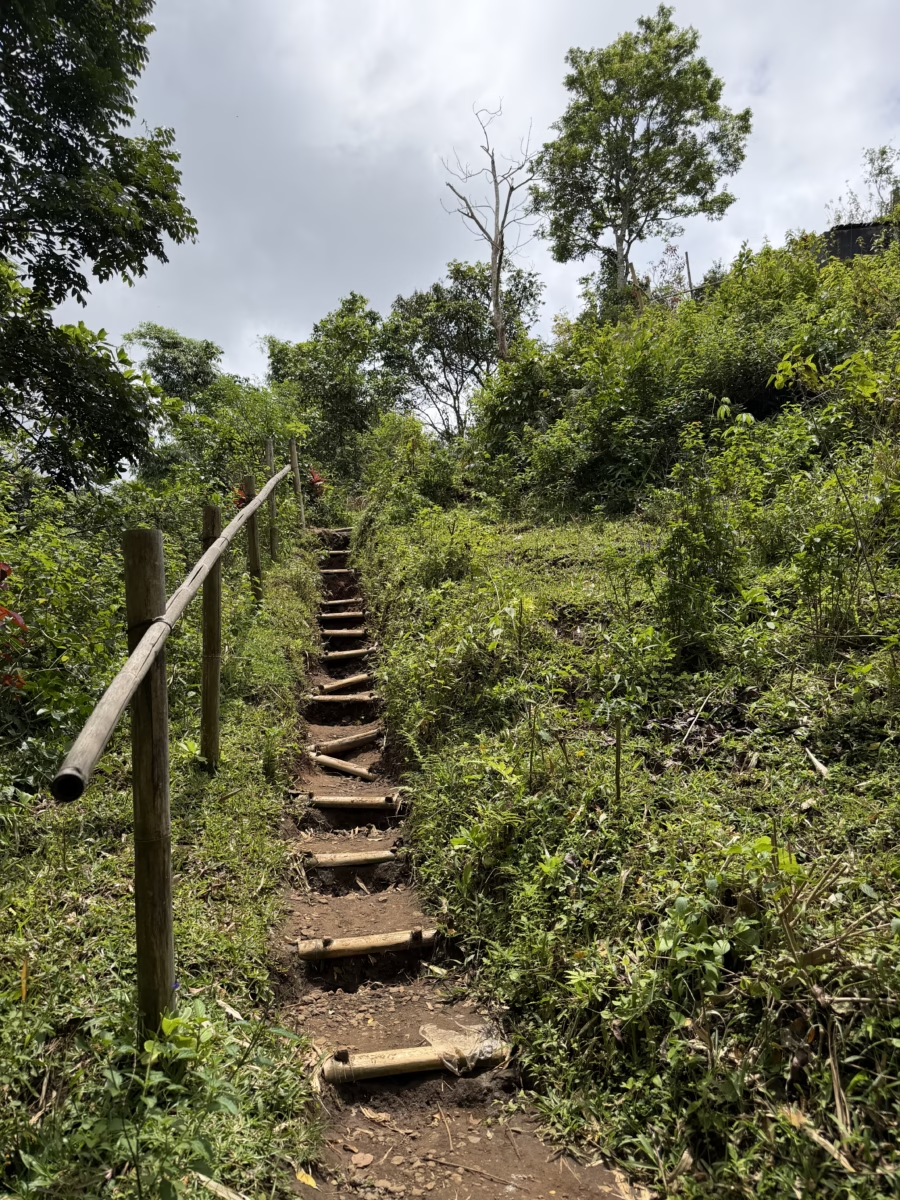
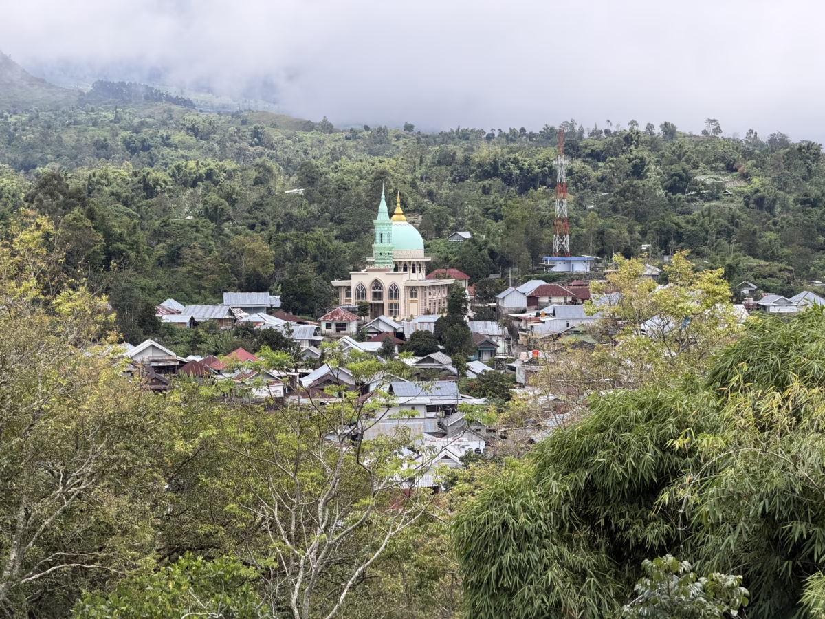
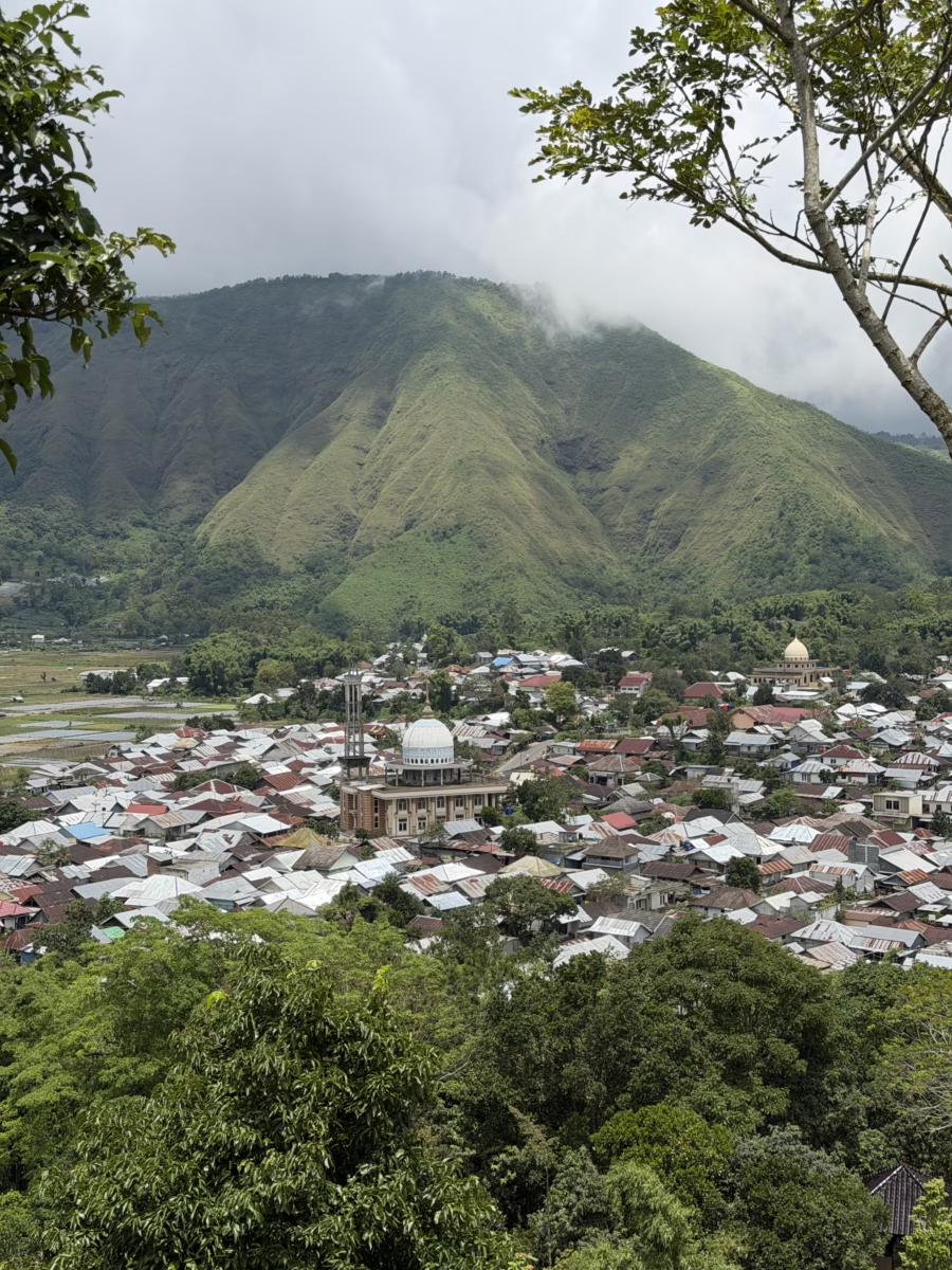
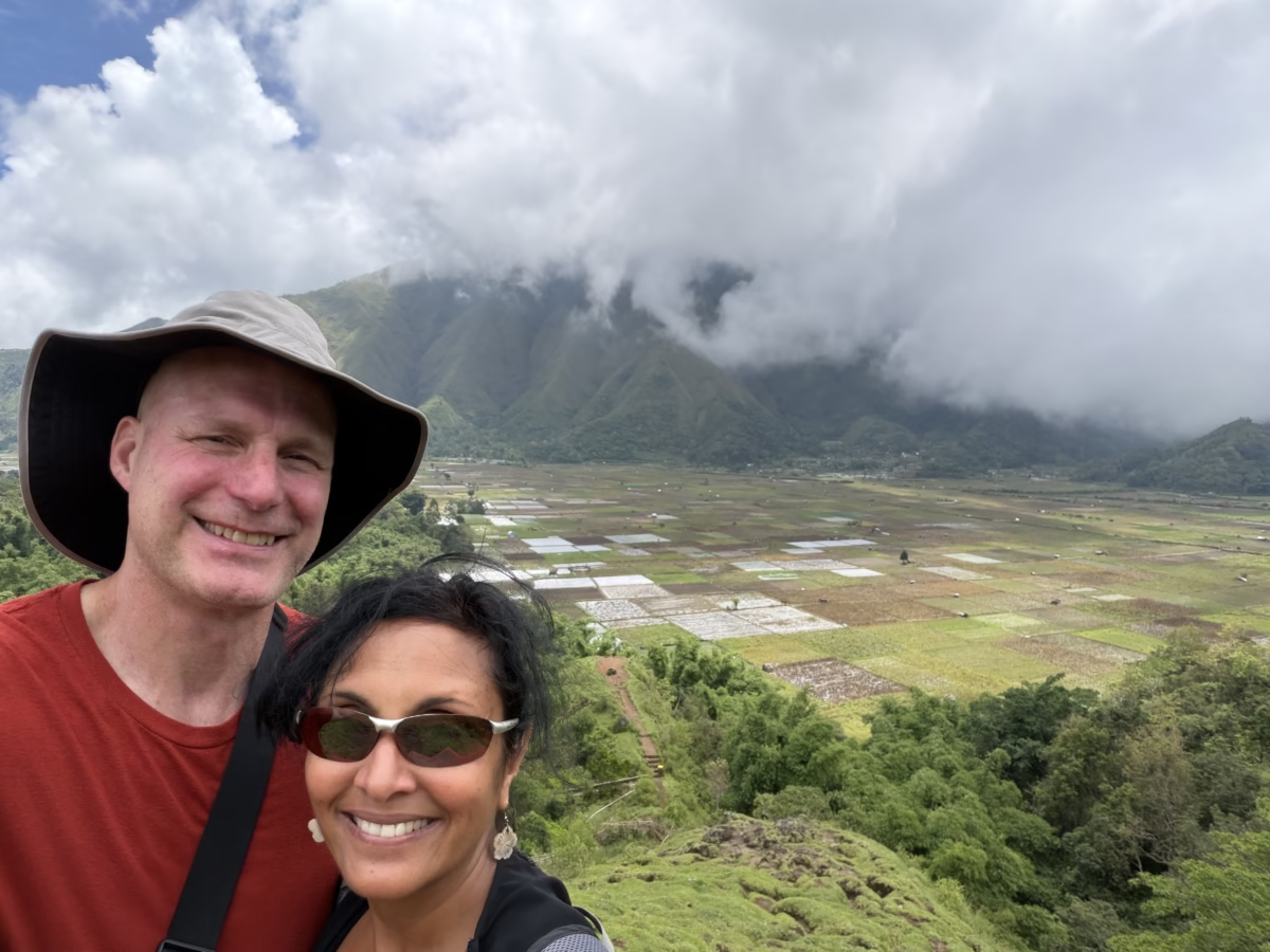
A ridge rises above Sembalun Lawang with a popular viewing point on it called Bukit Selong (Selong Hill). We hiked the ~15 minutes up and were quickly rewarded with 360˚ views of the agricultural plots, mountains, and beautiful villages themselves with their colorful mosques.
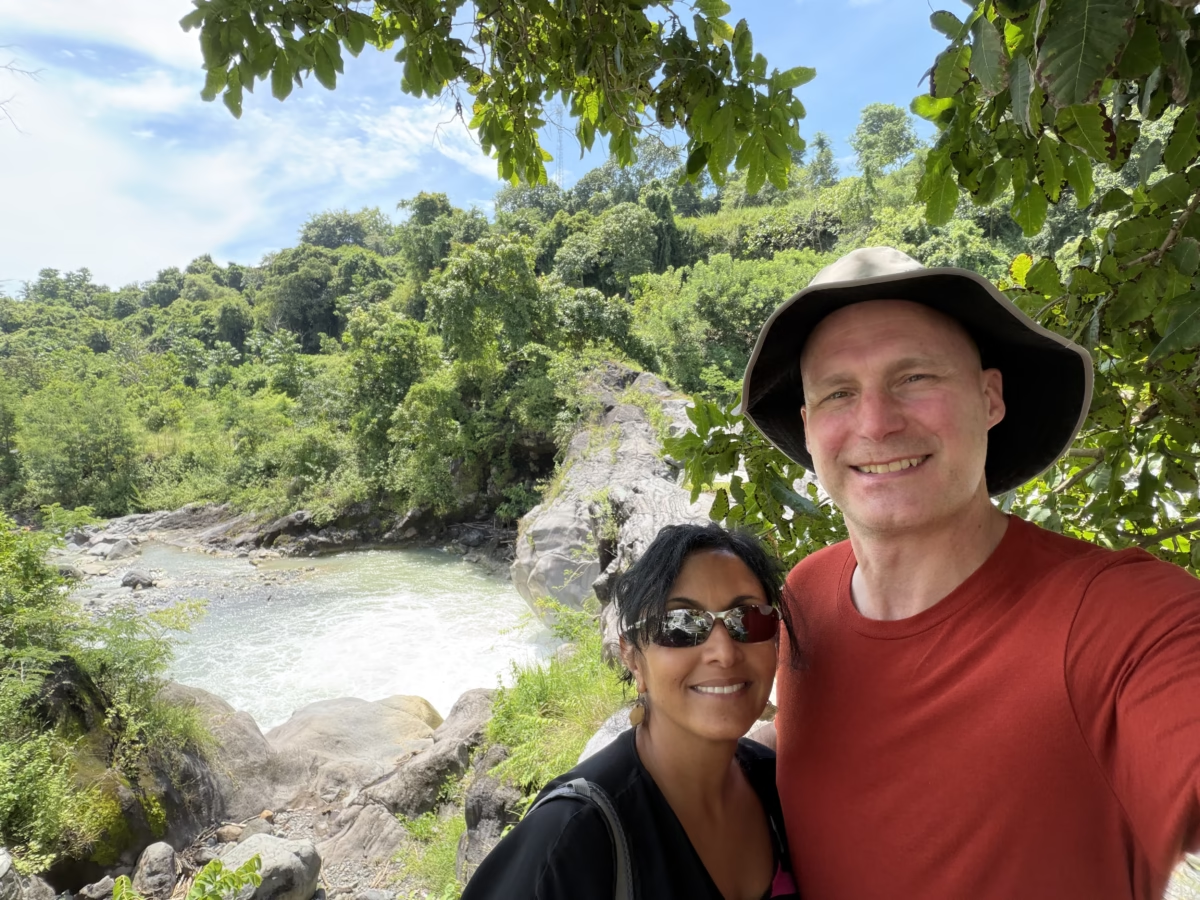
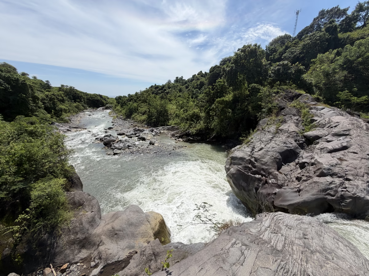
Near where the Sembalun road meets the northern coastal road, there is a popular rest area called Rest Area Lokok Putek. It sits on the edge of the Lokok Putih (White River). It’s a nice, free, easy stop and has scenic views over the raging river.
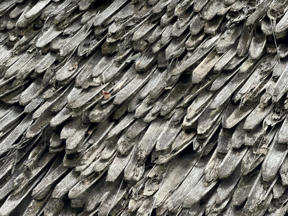
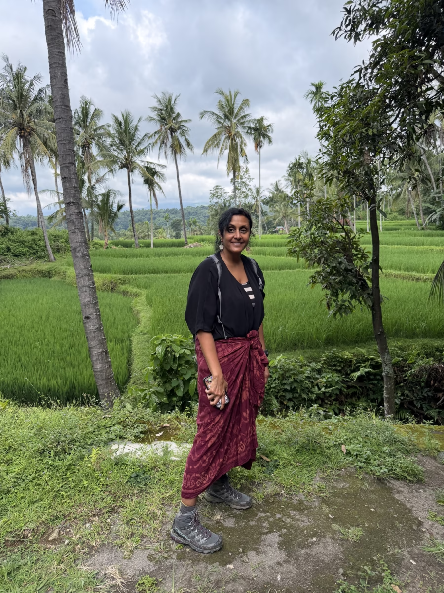
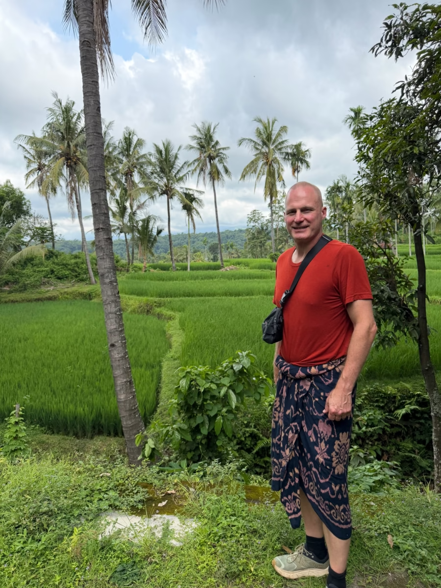
Almost due north of Rinjani is the village of Bayan. It’s a crossroads for northern coastal traffic and providing access up into the mountains. It includes the oldest mosque in Lombok, Bayan Beléq, of course in another surreal setting. It’s still actively used, but we didn’t go inside.
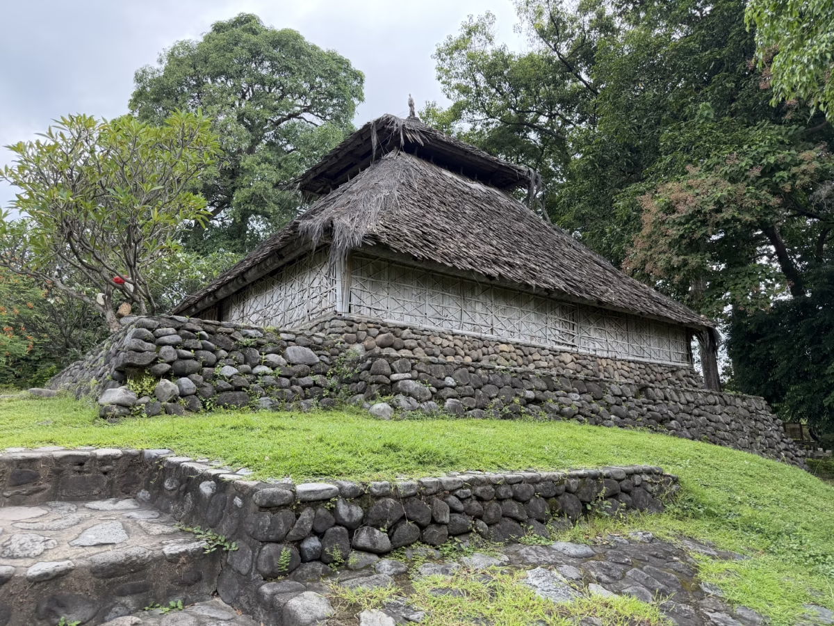
Like all mosques and temples, we were required to cover our shoulders and knees in respect. Our hiking boots make for an interesting style statement but the saris are comfortable and far more so than pants in the heat!
Due south from Bayan, rising onto Rinjani, is a great little trail to two waterfalls. A quick ~400m (.25 mile) hike brings you to the first, Sedang Gile, which is actually a double waterfall surrounded by numerous small waterfalls gushing out of the jungle.

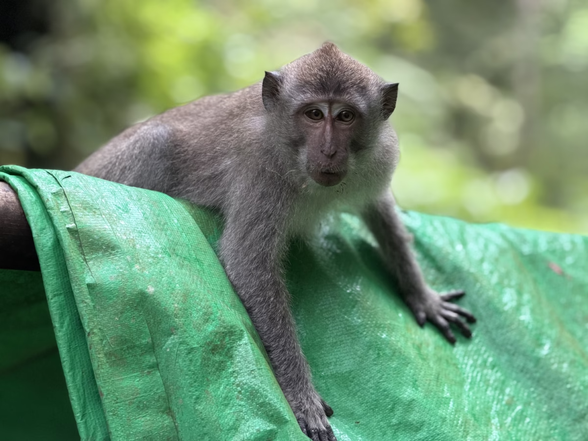
This is a fairly accessible area and frequented by casual tourists. As a result there are a bunch of long-tailed macaques asking for food. Unlike in more heavily touristed areas though, they weren’t insistent nor aggressive.
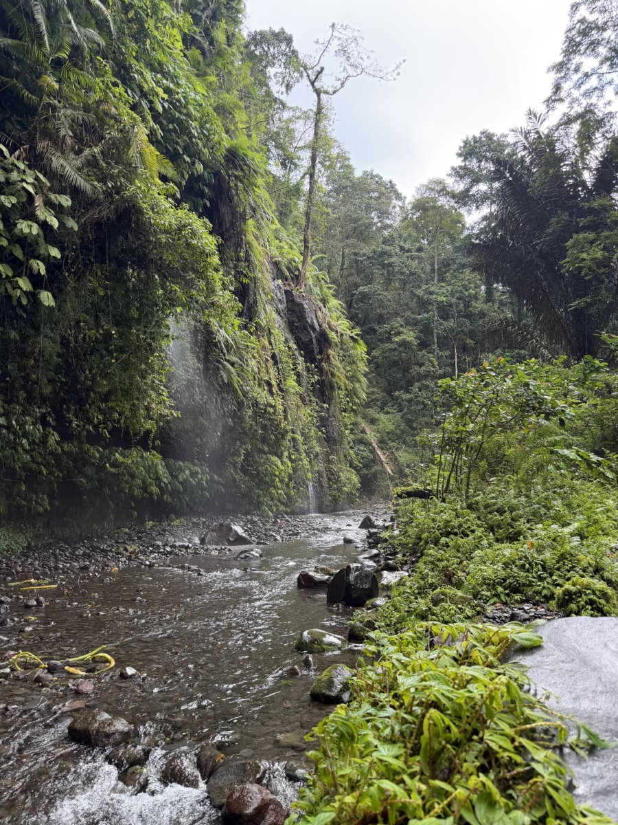
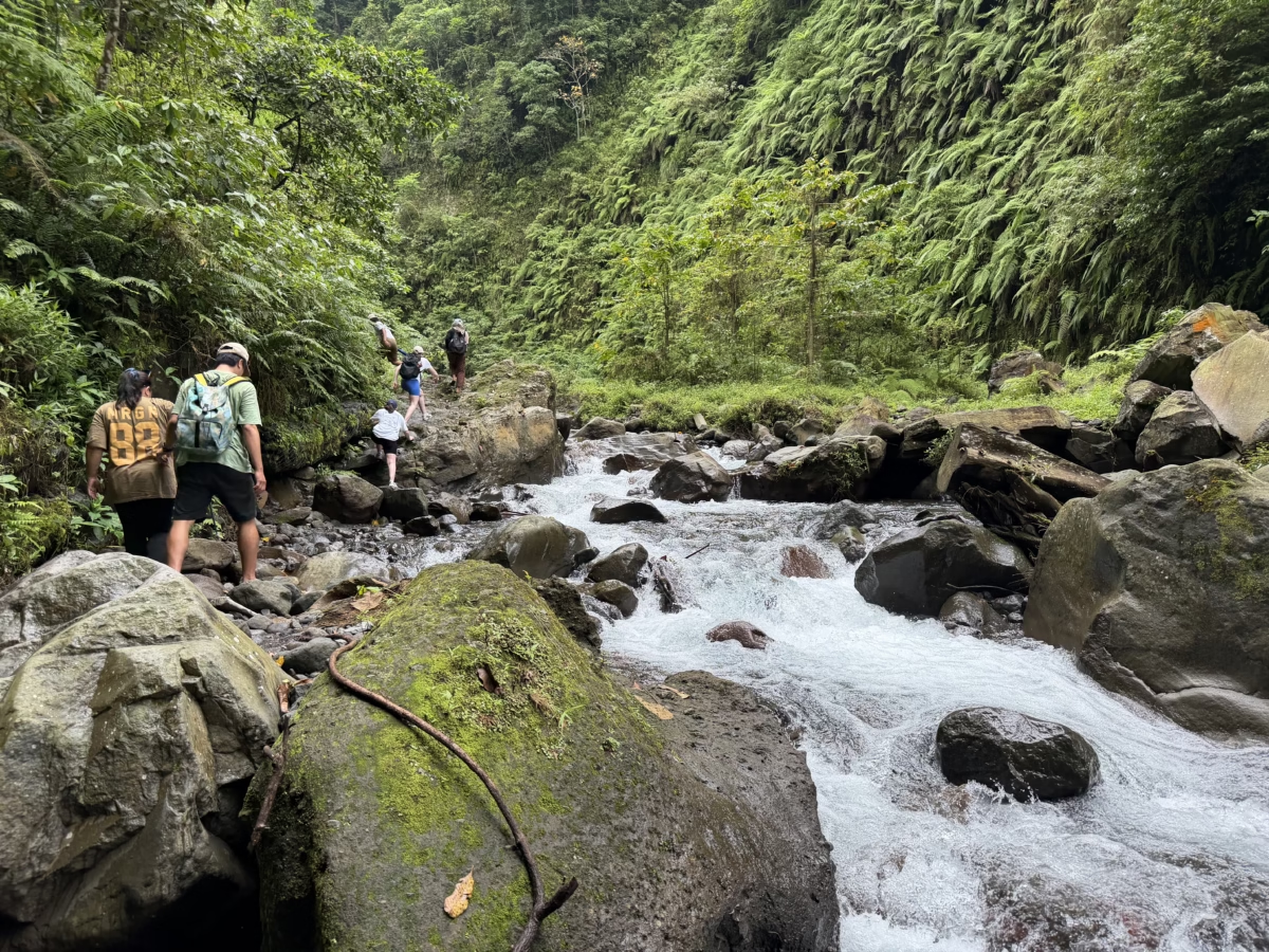
A second trail leads about 1km (.6mi) up along the river toward the bigger waterfall, Tiu Kelep. For this section you either need to take shoes on and off or wear some sort of water shoes since the trail goes back and forth between jungle, shallow water, and a walkway made of rocks bound in wire.
There’s even an ~aqueduct of sorts running under the trail and over the deep ravine that people tube down. The scene is overwhelming while the railings are.. underwhelming.
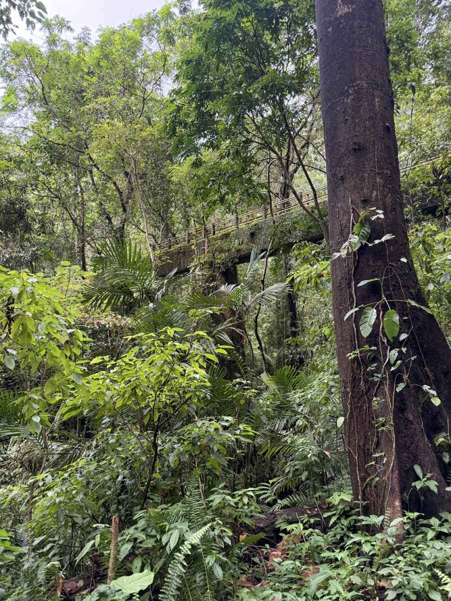
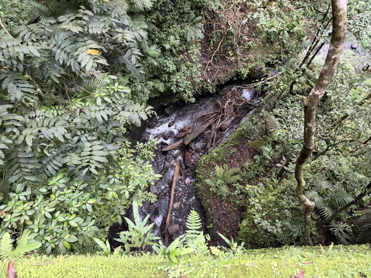
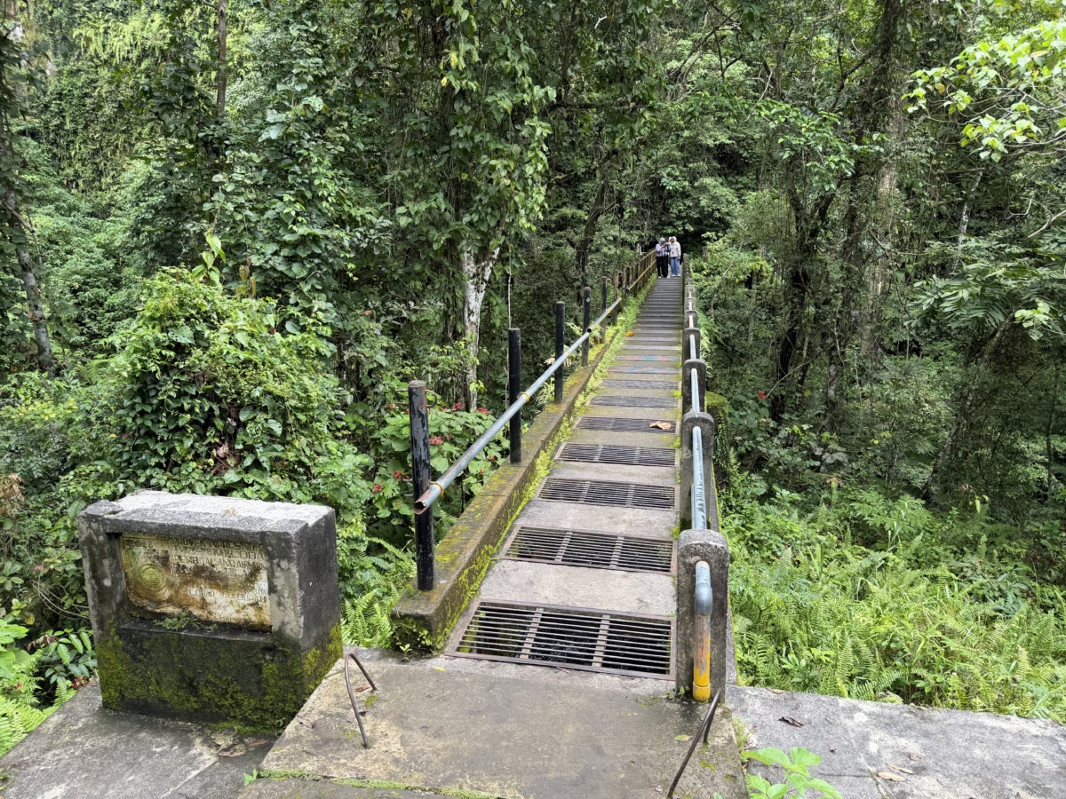
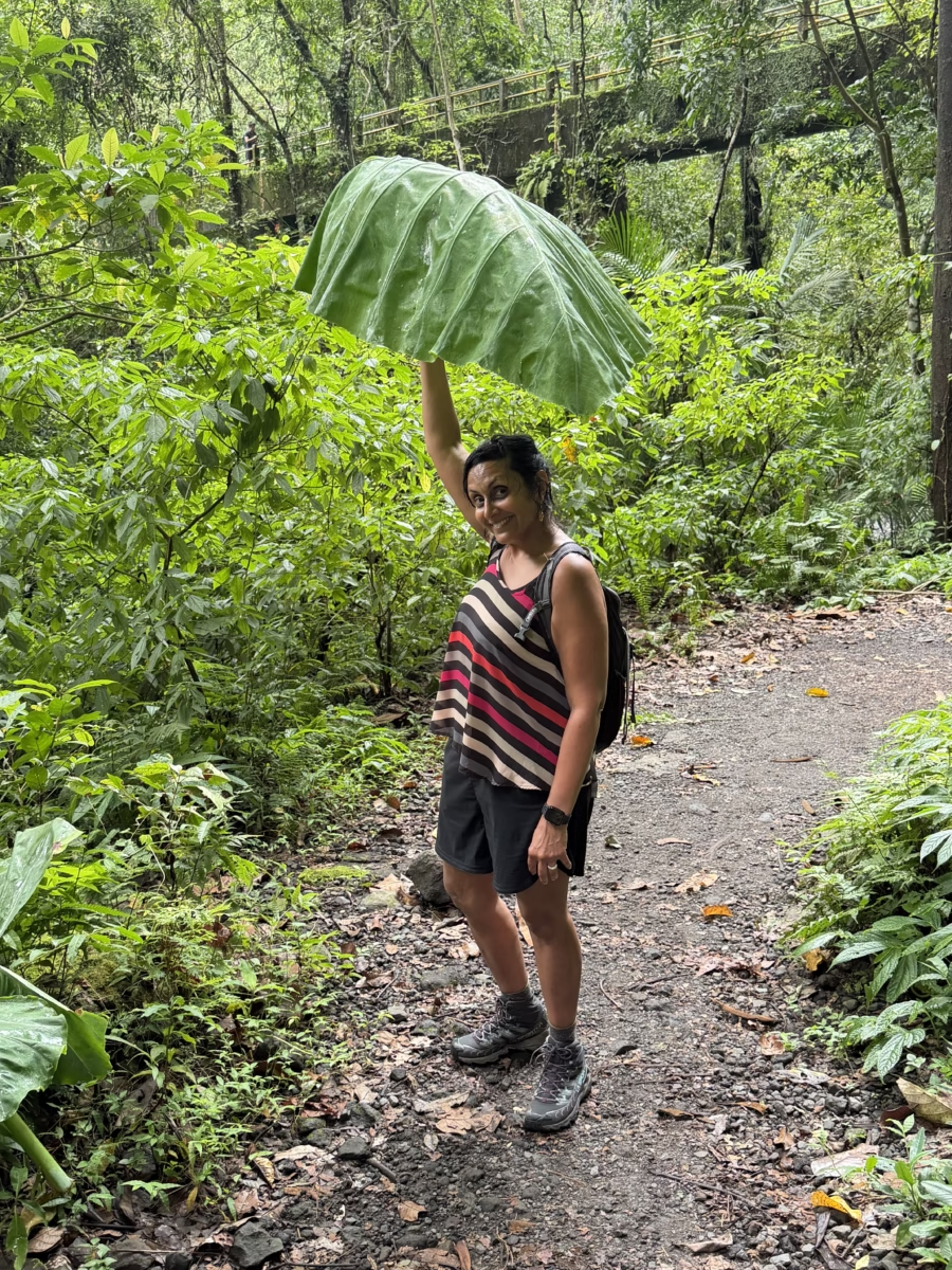
Along the trail of course you are reminded that you are in a lush jungle with ridiculous proportions at times.
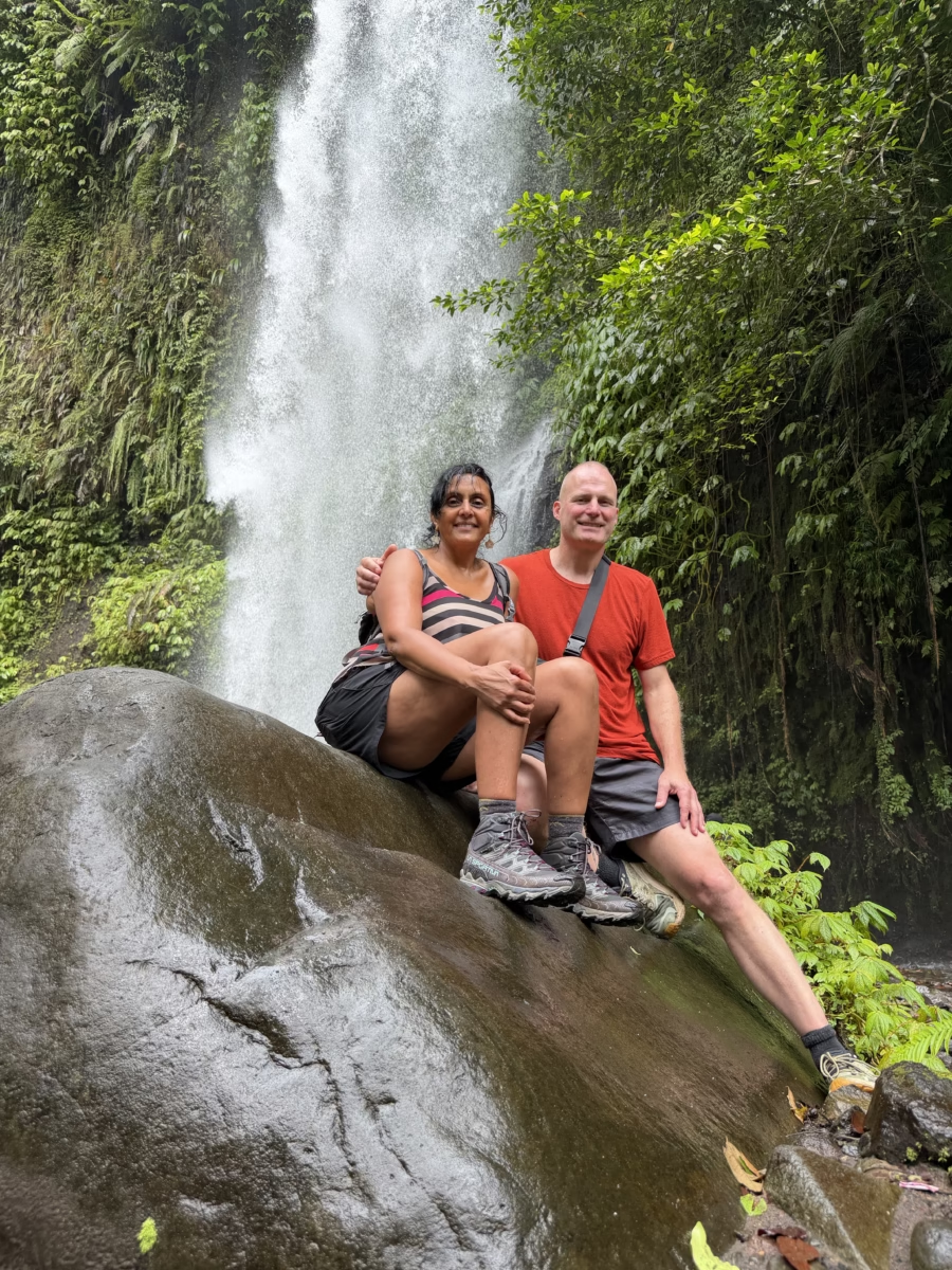
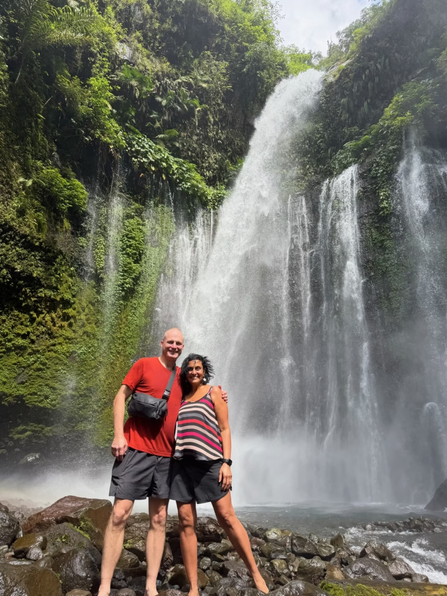
Nearing the top of the ravine you hear the telltale roaring around the corner, then are treated to Tiu Kelep in its full glory.
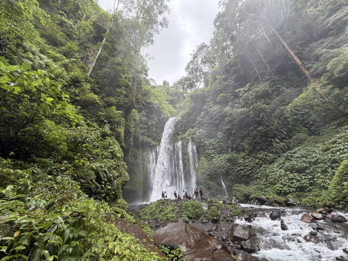
This ~42m (138 ft) waterfall used to be a popular cliff-jumping site until the 2018 earthquake knocked huge boulders into the pool at the base. Now the only deep part is directly under the falls, so jumping is forbidden and it’s hard to even enter as the falls thunder down on you from above.

Leave a Reply